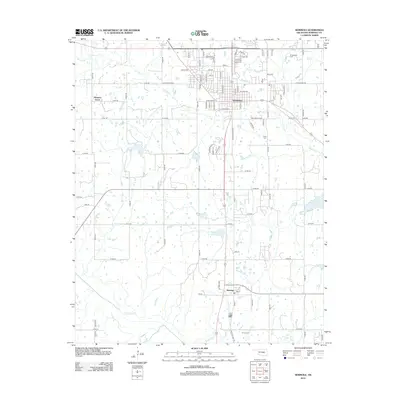
2012 Map of Seminole
USGS Topo · Published 2012About this map
Seminole centers this detailed 2012 survey, revealing the dense grid of streets and residential growth north of Wewoka Cr. The map documents the educational and civic footprint of the area, notably the Seminole State Coll campus located on the northern outskirts. Southward, the terrain transitions into a more rural landscape defined by sections and townships, where the community of Bowlegs sits near the crossing of the Little River. Several burial grounds, including Cudjo Cem and Thrace Cem, provide significant landmarks for genealogical research, anchoring family histories to specific land tracts. The survey also captures the western settlement of Pleasant Grove, showing how the local road network connects these smaller communities to the regional center of Seminole via routes like W Broadway and E Strothers Ave.
Find a feature on this map
85 named features on this map. Tap any name to fly to it.
Don’t see what you’re looking for? This feature index may not catch every label — zoom into the map to look around manually.
Map Details
Editions of this 2012 Seminole Map
This is the sole edition of this map. No revisions or reprints were ever made.
Other maps of this area

1896 · Seminole and Prague
USGS Topo · 1:125,000

1907 · Maud
USGS Topo · 1:62,500

1908 · Maud
USGS Topo · 1:62,500

1909 · Shawnee
USGS Topo · 1:62,500

1954 · Oklahoma City
USGS Topo · 1:250,000

1957 · Oklahoma City
USGS Topo · 1:250,000

1963 · Oklahoma City
USGS Topo · 1:250,000

1967 · Prague SW
USGS Topo · 1:24,000
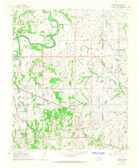
1967 · Earlsboro
USGS Topo · 1:24,000

1967 · Prague SE
USGS Topo · 1:24,000