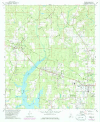
1982 Map of Semmes
USGS Topo · Published 1985About this map
Big Creek Lake dominates the central landscape of this western Mobile County region, its expansive waters fed by a network of tributaries including Big Creek and Juniper Creek. In the early 1980s, the growing community of Semmes serves as a local hub, situated near the Illinois Central Gulf rail line and the Semmes Lookout Tower. The map details a transition from dense woodland to established settlements like Wilmer and Millertown, where small family burial grounds such as Stringfellow Cem and Ford Cem provide critical data for genealogical research.
Find a feature on this map
60 named features on this map. Tap any name to fly to it.
Don’t see what you’re looking for? This feature index may not catch every label — zoom into the map to look around manually.
Map Details
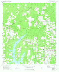
Editions of this 1982 Semmes Map
2 editions found
Other maps of this area

1922 · Mobile
USGS Topo · 1:62,500

1940 · Mobile
USGS Topo · 1:62,500

1941 · Hurley
USGS Topo · 1:62,500

1941 · Creola
USGS Topo · 1:62,500

1942 · Kushla
USGS Topo · 1:31,680

1942 · Wilmer
USGS Topo · 1:62,500

1943 · Creola
USGS Topo · 1:62,500

1943 · Hurley
USGS Topo · 1:62,500
1943 · Spring Hill
USGS Topo · 1:31,680
1944 · Mobile
USGS Topo · 1:62,500