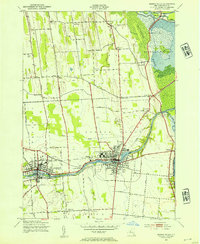
1943 Map of Seneca Falls
USGS Topo · Published 1954About this map
Seneca Falls and Waterloo serve as the industrial and transportation anchors for this Finger Lakes landscape during the mid-1940s. The region is defined by the heavy infrastructure of the Cayuga and Seneca Canal and the Barge Canal, which cut through the northern reaches of the Montezuma Marsh. The rail network is equally dense, featuring the New York Central and Lehigh Valley lines meeting at Lehigh Valley Junc.
Find a feature on this map
59 named features on this map. Tap any name to fly to it.
Don’t see what you’re looking for? This feature index may not catch every label — zoom into the map to look around manually.
Map Details
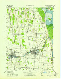
Editions of this 1943 Seneca Falls Map
2 editions found
Other maps of this area

1899 · Auburn
USGS Topo · 1:62,500

1902 · Geneva
USGS Topo · 1:62,500

1902 · Clyde
USGS Topo · 1:62,500

1902 · Weedsport
USGS Topo · 1:62,500

1902 · Auburn
USGS Topo · 1:62,500

1943 · Lyons
USGS Topo · 1:31,680

1943 · Geneva North
USGS Topo · 1:31,680

1943 · Geneva South
USGS Topo · 1:31,680

1943 · Montezuma
USGS Topo · 1:31,680

1943 · Cayuga
USGS Topo · 1:31,680