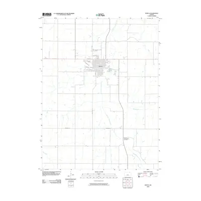
2009 Map of Seneca
USGS Topo · Published 2009About this map
The Seneca city grid sits at the heart of this agricultural landscape, organized around thoroughfares like Main St and S 8th St. The town's northern edge is defined by the Saints Peter and Paul Cemetery and the Seneca Municipal Airport, while the surrounding countryside is drained by a dense network of watercourses including the South Fork Nemaha River and Harris Creek. To the southeast, the Nemaha County State Lake Dam represents a significant modification of the natural hydrology, creating a local landmark for recreation and water management. The road network, including Stringtown Rd and Springtown Rd, follows the classic section-line pattern of the Great Plains, illustrating how the rural landscape was surveyed and settled. This mapping of the early 21st century documents the modern footprint of a regional hub in Nemaha County.
Find a feature on this map
19 named features on this map. Tap any name to fly to it.
Don’t see what you’re looking for? This feature index may not catch every label — zoom into the map to look around manually.
Map Details
Editions of this 2009 Seneca Map
This is the sole edition of this map. No revisions or reprints were ever made.
Other maps of this area

1888 · Hiawatha
USGS Topo · 1:125,000

1889 · Seneca
USGS Topo · 1:125,000

1894 · Seneca
USGS Topo · 1:125,000

1894 · Hiawatha
USGS Topo · 1:125,000

1950 · Kansas City
USGS Topo · 1:250,000

1954 · Kansas City
USGS Topo · 1:250,000

1955 · Manhattan
USGS Topo · 1:250,000

1956 · Manhattan
USGS Topo · 1:250,000

1956 · Kansas City
USGS Topo · 1:250,000

1957 · Manhattan
USGS Topo · 1:250,000