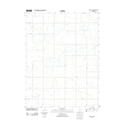
2012 Map of Seneca NW
USGS Topo · Published 2012About this map
Pole Cr and Clear Cr carve through this agricultural landscape in Marshall County, which was surveyed just after the turn of the millennium. The terrain is defined by a dense network of sectional roads and the serpentine paths of several waterways, including Negro Cr and N Fork Wildcat Cr in the southern portion of the quadrangle. The map documents a predominantly rural environment where long-established road names often reflect local family legacies or natural landmarks. Evidence of early settlement patterns remains visible in named routes such as St Bridget and the vicinity of Tryon. Researchers of Kansas geography can trace the complex drainage patterns of the Turkey Cr and Wildcat Cr systems as they intersect the rectangular survey grid.
Find a feature on this map
20 named features on this map. Tap any name to fly to it.
Don’t see what you’re looking for? This feature index may not catch every label — zoom into the map to look around manually.
Map Details
Editions of this 2012 Seneca NW Map
This is the sole edition of this map. No revisions or reprints were ever made.
Other maps of this area

1889 · Seneca
USGS Topo · 1:125,000

1894 · Seneca
USGS Topo · 1:125,000

1955 · Manhattan
USGS Topo · 1:250,000

1955 · Lincoln
USGS Topo · 1:250,000

1956 · Manhattan
USGS Topo · 1:250,000

1957 · Manhattan
USGS Topo · 1:250,000

1957 · Lincoln
USGS Topo · 1:250,000

1958 · Lincoln
USGS Topo · 1:250,000

1965 · Pawnee City
USGS Topo · 1:24,000
1965 · Du Bois
USGS Topo · 1:24,000