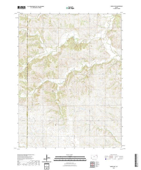
2022 Map of Seneca NW
USGS Topo · Published 2022About this map
The Marshall Co and Nemaha Co border bisects this section of northeastern Kansas, where a dense network of sectional roads and watercourses defines the agricultural landscape. The terrain is deeply etched by a system of creeks, including Pole Cr, Clear Cr, and Negro Cr, which flow through the rolling plains of the Dissected Till Plains region. These waterways converge and branch throughout the quadrangle, with Wildcat Cr and its N Fork marking the northern and southern reaches.
Find a feature on this map
26 named features on this map. Tap any name to fly to it.
Don’t see what you’re looking for? This feature index may not catch every label — zoom into the map to look around manually.
Map Details
Editions of this 2022 Seneca NW Map
This is the sole edition of this map. No revisions or reprints were ever made.
Other maps of this area

1889 · Seneca
USGS Topo · 1:125,000

1894 · Seneca
USGS Topo · 1:125,000

1955 · Manhattan
USGS Topo · 1:250,000

1955 · Lincoln
USGS Topo · 1:250,000

1956 · Manhattan
USGS Topo · 1:250,000

1957 · Manhattan
USGS Topo · 1:250,000

1957 · Lincoln
USGS Topo · 1:250,000

1958 · Lincoln
USGS Topo · 1:250,000

1965 · Pawnee City
USGS Topo · 1:24,000
1965 · Du Bois
USGS Topo · 1:24,000