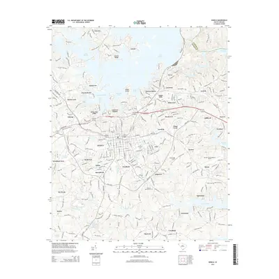
2014 Map of Seneca
USGS Topo · Published 2014About this map
Seneca and its surrounding Oconee County landscape are defined here by a transition between the established city grid and the expansive shorelines of Lake Keowee and Hartwell Lake. The Norfolk Southern railway serves as a central spine for the region, anchoring historic industrial hubs like Newry and Utica. Throughout the suburban expansion of Jordonia, Brookwood, and Woodburn, pockets of local heritage remain preserved in sites like Mt View Cem and Oak Grove Cem.
Find a feature on this map
273 named features on this map. Tap any name to fly to it.
Don’t see what you’re looking for? This feature index may not catch every label — zoom into the map to look around manually.
Map Details
Editions of this 2014 Seneca Map
This is the sole edition of this map. No revisions or reprints were ever made.
Other maps of this area

1886 · Walhalla
USGS Topo · 1:125,000

1888 · Pickens
USGS Topo · 1:125,000

1892 · Walhalla
USGS Topo · 1:125,000

1894 · Pickens
USGS Topo · 1:125,000

1896 · Walhalla
USGS Topo · 1:125,000

1950 · La France
USGS Topo · 1:24,000

1951 · La France
USGS Topo · 1:24,000

1951 · Clemson
USGS Topo · 1:24,000

1954 · Greenville
USGS Topo · 1:250,000

1958 · Greenville
USGS Topo · 1:250,000