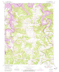
1949 Map of Sentinel
USGS Topo · Published 1982About this map
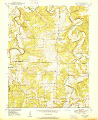
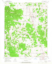
Pomme De Terre River and Lindley Creek converge within this mid-century landscape, a region defined by the transition from rural farming communities to recreational water management. The mapping reveals the transformation of the valley with the introduction of Pomme De Terre Lake, which inundated former bottomlands while preserving the upland settlements of Pittsburg and Sentinel. Genealogists will find a wealth of local landmarks, including the Pitt Cem, Stewart Cem, and Chamberlain Cem, alongside cornerstones of community life such as Oak Grove Sch and Fox Ridge Sch. Small hamlets like Adonis and Huckaby are documented at a time when the Pomme De Terre State Park and adjacent wildlife management areas began to reshape the local economy around the new reservoir.
Find a feature on this map
33 named features on this map. Tap any name to fly to it.
Don’t see what you’re looking for? This feature index may not catch every label — zoom into the map to look around manually.
Map Details
Editions of this 1949 Sentinel Map
2 editions found
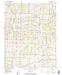
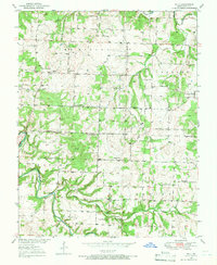
Other maps of this area

1884 · Bolivar
USGS Topo · 1:125,000

1892 · Bolivar
USGS Topo · 1:125,000

1942 · Elkton
USGS Topo · 1:24,000

1949 · Elkton
USGS Topo · 1:24,000

1949 · Sentinel
USGS Topo · 1:24,000

1950 · Elkton
USGS Topo · 1:24,000
1950 · Sentinel
USGS Topo · 1:24,000
1950 · Buffalo NW
USGS Topo · 1:24,000
1950 · Polk
USGS Topo · 1:24,000
1950 · Urbana
USGS Topo · 1:24,000