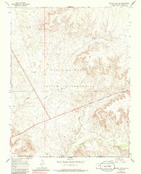
1966 Map of Sentinel Peak SW
USGS Topo · Published 1986About this map
The Ute Mountain Indian Reservation defines this high-desert landscape in the southwest corner of Colorado, where the high plateaus meet the Mancos River valley. This 1960s survey records a region where ancient history and modern energy exploration converge. Evidence of early habitation is noted at the Indian Ruins near the southern boundary, while more recent activity is marked by a series of prospecting sites including Well No A-4 and several instances of a Drill Hole. A prominent Pipeline cuts diagonally across the terrain, reflecting the mid-century industrial infrastructure of the Four Corners region. Drainage patterns are dominated by the deep incisions of Cowboy Wash and Aztec Wash, which channel water through the arid terrain toward the New Mexico border.
Find a feature on this map
13 named features on this map. Tap any name to fly to it.
Don’t see what you’re looking for? This feature index may not catch every label — zoom into the map to look around manually.
Map Details
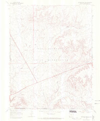
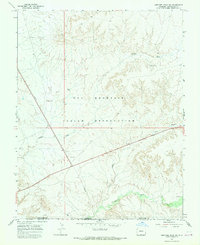
Editions of this 1966 Sentinel Peak SW Map
3 editions found
Other maps of this area

1886 · Abajo
USGS Topo · 1:250,000

1889 · Chaco
USGS Topo · 1:250,000

1892 · Abajo
USGS Topo · 1:250,000

1892 · Chaco
USGS Topo · 1:250,000

1892 · Canyon De Chelly
USGS Topo · 1:250,000

1893 · Abajo
USGS Topo · 1:250,000

1934 · Rattlesnake
USGS Topo · 1:62,500

1937 · Rattlesnake
USGS Topo · 1:62,500

1953 · Pastora Peak NE
USGS Topo · 1:24,000

1953 · Pastora Peak
USGS Topo · 1:62,500