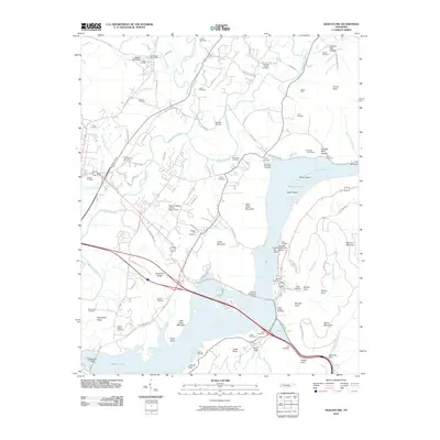
2010 Map of Sequatchie
USGS Topo · Published 2010About this map
The Sequatchie River flows through its namesake valley toward the expansive waters of Bennett Lake, formed by the impoundment of the Tennessee River. This landscape is defined by the contrast between industrial sites like the Inman Mine and Bennetts Lake Quarry and the numerous small family burial grounds that dot the ridges and hollows, such as the Owen Cemetery and Spangler Cemetery. The infrastructure of the early 21st century is represented by the Marion County Airport-Brown Field and the Marion Memorial Bridge, which spans the river just north of the Hales Bar Dam site.
Find a feature on this map
110 named features on this map. Tap any name to fly to it.
Don’t see what you’re looking for? This feature index may not catch every label — zoom into the map to look around manually.
Map Details
Editions of this 2010 Sequatchie Map
This is the sole edition of this map. No revisions or reprints were ever made.
Other maps of this area

1886 · Ringgold
USGS Topo · 1:125,000

1886 · Stevenson
USGS Topo · 1:125,000

1888 · Chattanooga
USGS Topo · 1:125,000

1892 · Ringgold
USGS Topo · 1:125,000

1892 · Stevenson
USGS Topo · 1:125,000

1893 · Chattanooga
USGS Topo · 1:125,000

1895 · Stevenson
USGS Topo · 1:125,000

1895 · Sewanee
USGS Topo · 1:125,000

1936 · Shellmound
USGS Topo · 1:24,000

1936 · Bridgeport
USGS Topo · 1:24,000