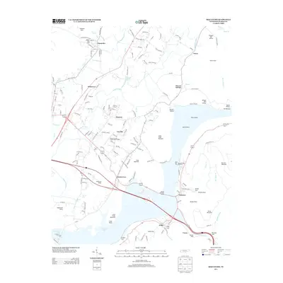
2013 Map of Sequatchie
USGS Topo · Published 2013About this map
The Sequatchie River meanders through its namesake valley before joining the expansive waters of Nickajack Lake and Guntersville Lake in this 2013 topographic study. The landscape is defined by the sharp verticality of Anderson Ridge and Little Cedar Mountain, which overlook the Tennessee River valley. This era shows the continued significance of water management and recreation at the Hales Bar Dam and the nearby Hales Bar Resort and Marina.
Find a feature on this map
165 named features on this map. Tap any name to fly to it.
Don’t see what you’re looking for? This feature index may not catch every label — zoom into the map to look around manually.
Map Details
Editions of this 2013 Sequatchie Map
This is the sole edition of this map. No revisions or reprints were ever made.
Other maps of this area

1886 · Ringgold
USGS Topo · 1:125,000

1886 · Stevenson
USGS Topo · 1:125,000

1888 · Chattanooga
USGS Topo · 1:125,000

1892 · Ringgold
USGS Topo · 1:125,000

1892 · Stevenson
USGS Topo · 1:125,000

1893 · Chattanooga
USGS Topo · 1:125,000

1895 · Stevenson
USGS Topo · 1:125,000

1895 · Sewanee
USGS Topo · 1:125,000

1936 · Shellmound
USGS Topo · 1:24,000

1936 · Bridgeport
USGS Topo · 1:24,000