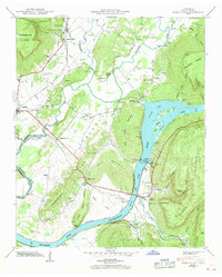
1942 Map of Sequatchie
USGS Topo · Published 1942About this map
The Sequatchie River flows through its namesake valley just as the landscape was being reshaped by the massive hydroelectric projects of the 1940s. This survey records the region during the operation of the Hales Bar Power Plants, which impounded Hales Bar Lake and established a significant water-and-rail hub. The Nashville Chattanooga and St Louis RR parallels the Lee Highway, connecting settlements like Jasper and Sequatchie to the industrial activity along the Tennessee River.
Find a feature on this map
85 named features on this map. Tap any name to fly to it.
Don’t see what you’re looking for? This feature index may not catch every label — zoom into the map to look around manually.
Map Details
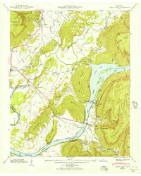
Editions of this 1942 Sequatchie Map
2 editions found
Other maps of this area

1886 · Ringgold
USGS Topo · 1:125,000

1886 · Stevenson
USGS Topo · 1:125,000

1888 · Chattanooga
USGS Topo · 1:125,000

1892 · Ringgold
USGS Topo · 1:125,000

1892 · Stevenson
USGS Topo · 1:125,000

1893 · Chattanooga
USGS Topo · 1:125,000

1895 · Stevenson
USGS Topo · 1:125,000

1895 · Sewanee
USGS Topo · 1:125,000

1936 · Shellmound
USGS Topo · 1:24,000

1936 · Bridgeport
USGS Topo · 1:24,000