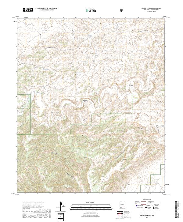
2023 Map of Serpentine Bends
USGS Topo · Published 2023About this map
The Guadalupe Mountains dominate this high-desert landscape, where the protected terrain of Carlsbad Caverns National Park and the Carlsbad Caverns Wilderness meets the Lincoln National Forest. The map detail reveals an intricate network of deep canyons and ridges, including Dark Canyon and Middle Slaughter Canyon, which reflect the area's complex karst topography. Human presence is marked by primitive roads like Co RD 410 and the isolated X Bar Ranch Cem near the western boundary.
Find a feature on this map
42 named features on this map. Tap any name to fly to it.
Don’t see what you’re looking for? This feature index may not catch every label — zoom into the map to look around manually.
Map Details
Editions of this 2023 Serpentine Bends Map
This is the sole edition of this map. No revisions or reprints were ever made.
Other maps of this area

1940 · Bandanna Point
USGS Topo · 1:62,500

1940 · Carlsbad Caverns West
USGS Topo · 1:62,500

1943 · Carlsbad Caverns West
USGS Topo · 1:62,500

1943 · Bandanna Point
USGS Topo · 1:62,500

1943 · West Carlsbad
USGS Topo · 1:62,500

1945 · West Carlsbad
USGS Topo · 1:62,500

1945 · Carlsbad Caverns East
USGS Topo · 1:62,500

1947 · Carlsbad Caverns East
USGS Topo · 1:62,500

1954 · Carlsbad
USGS Topo · 1:250,000

1958 · Carlsbad
USGS Topo · 1:250,000