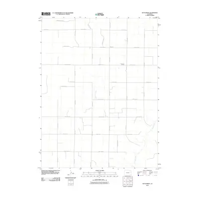
2010 Map of Settlement
USGS Topo · Published 2010About this map
Settlement serves as the focal point of this Eastern Colorado landscape, situated at the intersection of a rigid grid of local thoroughfares. The region is defined by its agricultural layout, where County Road JJ and County Hwy 40 dictate the movement across the plains. A significant landmark for local history and genealogy is the Hope Church Cemetery, located central to the quadrangle and providing a physical link to the community's past generations. The steady geography of the High Plains is briefly interrupted by the meandering course of Landsman Creek, which cuts through the southeastern portion of the map. This 2010 survey by the U.S. Geological Survey illustrates a land primarily organized for ranching and farming, with small outbuildings and residences spaced along routes like County Road HH and County Rd 41.
Find a feature on this map
21 named features on this map. Tap any name to fly to it.
Don’t see what you’re looking for? This feature index may not catch every label — zoom into the map to look around manually.
Map Details
Editions of this 2010 Settlement Map
This is the sole edition of this map. No revisions or reprints were ever made.
Other maps of this area

1954 · Limon
USGS Topo · 1:250,000

1957 · Limon
USGS Topo · 1:250,000

1958 · Limon
USGS Topo · 1:250,000

1969 · Settlement
USGS Topo · 1:24,000

1969 · Tuttle
USGS Topo · 1:24,000

1969 · Bethune
USGS Topo · 1:24,000

1969 · Burlington
USGS Topo · 1:24,000

1969 · Idalia SE
USGS Topo · 1:24,000

1969 · Idalia SW
USGS Topo · 1:24,000

1969 · Kirk
USGS Topo · 1:24,000