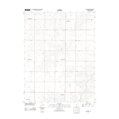
2013 Map of Settlement
USGS Topo · Published 2013About this map
The high plains of Kit Carson County are defined by a rigorous grid of section lines and gravel roads in this 2013 survey. Centered on the rural community of Settlement, the landscape is partitioned by an extensive network of thoroughfares including CO Hwy 40, CO Road HH, and CO Road DD. These roads follow the Public Land Survey System boundaries of Townships 6, 7, and 8 South, illustrating the systematic agricultural development of eastern Colorado. Local history and genealogy are centered at the Hope Church Cem, situated along CO Road GG. The natural topography provides a sharp contrast to the human-imposed grid, with the drainage of Landsman Creek and the landform known as Dry Gulch cutting through the otherwise geometric plains.
Find a feature on this map
29 named features on this map. Tap any name to fly to it.
Don’t see what you’re looking for? This feature index may not catch every label — zoom into the map to look around manually.
Map Details
Editions of this 2013 Settlement Map
This is the sole edition of this map. No revisions or reprints were ever made.
Other maps of this area

1954 · Limon
USGS Topo · 1:250,000

1957 · Limon
USGS Topo · 1:250,000

1958 · Limon
USGS Topo · 1:250,000

1969 · Settlement
USGS Topo · 1:24,000

1969 · Tuttle
USGS Topo · 1:24,000

1969 · Bethune
USGS Topo · 1:24,000

1969 · Burlington
USGS Topo · 1:24,000

1969 · Idalia SE
USGS Topo · 1:24,000

1969 · Idalia SW
USGS Topo · 1:24,000

1969 · Kirk
USGS Topo · 1:24,000