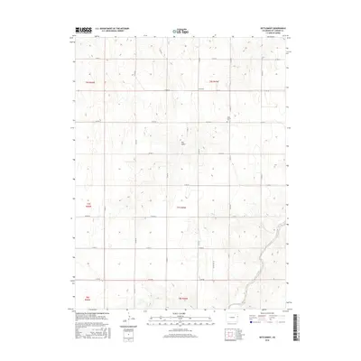
2016 Map of Settlement
USGS Topo · Published 2016About this map
Hope Church Cem sits as a lonely landmark on the high plains of Kit Carson County in this 2016 survey. The landscape is defined by the rectangular grid of the Public Land Survey System, with roads like Co RD 41 and Co RD HH following section lines across the open terrain. The namesake Settlement occupies a central position, while the natural drainage of Landsman Creek cuts through the southeastern corner of the quadrangle. This map reflects the enduring rural character of eastern Colorado, where the sparse placement of named features like Dry Gulch highlights the vast distances between established sites. For those researching local roots, the map provides precise locations for family-named roads and burial grounds within the T6S through T8S townships.
Find a feature on this map
25 named features on this map. Tap any name to fly to it.
Don’t see what you’re looking for? This feature index may not catch every label — zoom into the map to look around manually.
Map Details
Editions of this 2016 Settlement Map
This is the sole edition of this map. No revisions or reprints were ever made.
Other maps of this area

1954 · Limon
USGS Topo · 1:250,000

1957 · Limon
USGS Topo · 1:250,000

1958 · Limon
USGS Topo · 1:250,000

1969 · Settlement
USGS Topo · 1:24,000

1969 · Tuttle
USGS Topo · 1:24,000

1969 · Bethune
USGS Topo · 1:24,000

1969 · Burlington
USGS Topo · 1:24,000

1969 · Idalia SE
USGS Topo · 1:24,000

1969 · Idalia SW
USGS Topo · 1:24,000

1969 · Kirk
USGS Topo · 1:24,000