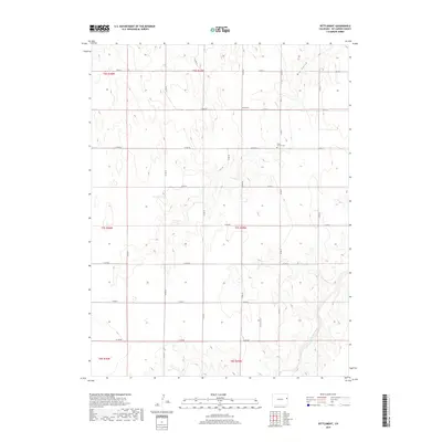
2019 Map of Settlement
USGS Topo · Published 2019About this map
Hope Church Cem stands as a primary landmark in this sparsely populated stretch of Kit Carson County, situated along the north-south alignment of Co RD 41. The landscape is defined by the high plains drainage of Dry Gulch in the northeast and Landsman Creek in the southeast, where the terrain breaks into more complex contours. The small community of Settlement is positioned along Co RD HH, serving as a focal point for the surrounding agricultural sections. The map reveals a highly structured grid of county roads, such as Co RD 40 and Co RD GG, which organize the territory into the traditional townships of the Public Land Survey System, including t7s r45w and t6s r45w. This 2019 survey documents the enduring rural character of eastern Colorado, where development remains concentrated near these established section lines and watercourses.
Find a feature on this map
26 named features on this map. Tap any name to fly to it.
Don’t see what you’re looking for? This feature index may not catch every label — zoom into the map to look around manually.
Map Details
Editions of this 2019 Settlement Map
This is the sole edition of this map. No revisions or reprints were ever made.
Other maps of this area

1954 · Limon
USGS Topo · 1:250,000

1957 · Limon
USGS Topo · 1:250,000

1958 · Limon
USGS Topo · 1:250,000

1969 · Settlement
USGS Topo · 1:24,000

1969 · Tuttle
USGS Topo · 1:24,000

1969 · Bethune
USGS Topo · 1:24,000

1969 · Burlington
USGS Topo · 1:24,000

1969 · Idalia SE
USGS Topo · 1:24,000

1969 · Idalia SW
USGS Topo · 1:24,000

1969 · Kirk
USGS Topo · 1:24,000