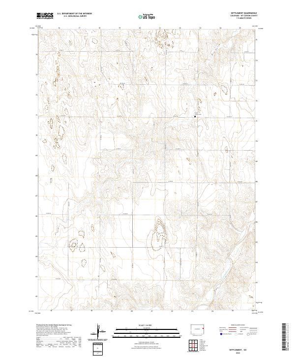
2022 Map of Settlement
USGS Topo · Published 2022About this map
Kit Carson County's high plains are characterized by a disciplined section-line road network that defines the agricultural landscape of this eastern Colorado quadrangle. Centered on Hope Church Cem along Co Rd Gg, the map captures a rural community organized by the Public Land Survey System. The terrain is marked by subtle drainage patterns, most notably the meandering course of Landsman Creek in the southeastern corner and the northern path of Dry Gulch. These seasonal watercourses provide the only significant relief in a topography dominated by large-scale farming and ranching tracts. Dozens of county roads, from Co Rd Jj in the north to Co Rd Bb at the southern edge, provide access to this isolated landscape, which remains essentially defined by its early 20th-century settlement patterns.
Find a feature on this map
24 named features on this map. Tap any name to fly to it.
Don’t see what you’re looking for? This feature index may not catch every label — zoom into the map to look around manually.
Map Details
Editions of this 2022 Settlement Map
This is the sole edition of this map. No revisions or reprints were ever made.
Other maps of this area

1954 · Limon
USGS Topo · 1:250,000

1957 · Limon
USGS Topo · 1:250,000

1958 · Limon
USGS Topo · 1:250,000

1969 · Settlement
USGS Topo · 1:24,000

1969 · Tuttle
USGS Topo · 1:24,000

1969 · Bethune
USGS Topo · 1:24,000

1969 · Burlington
USGS Topo · 1:24,000

1969 · Idalia SE
USGS Topo · 1:24,000

1969 · Idalia SW
USGS Topo · 1:24,000

1969 · Kirk
USGS Topo · 1:24,000