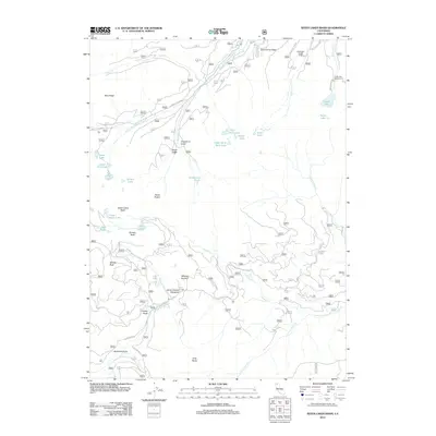
2012 Map of Seven Lakes Basin
USGS Topo · Published 2012About this map
The S Fork Sacramento River and E Fork Trinity River find their headwaters in this high mountain landscape, defined by a series of alpine basins and glacially carved lakes. This 2012 survey illustrates a region largely managed for recreation and natural resources, featuring the Methodist Church Camp and the Castle Lake Campground near the prominent Castle Lake. The map reveals a complex network of forest routes, such as Forest Rte 40N26 and Castle Creek Rd, which provide access to remote landmarks like Panther Rock and Whalan Summit.
Find a feature on this map
77 named features on this map. Tap any name to fly to it.
Don’t see what you’re looking for? This feature index may not catch every label — zoom into the map to look around manually.
Map Details
Editions of this 2012 Seven Lakes Basin Map
This is the sole edition of this map. No revisions or reprints were ever made.
Other maps of this area

1886 · Shasta
USGS Topo · 1:250,000

1894 · Shasta
USGS Topo · 1:250,000

1923 · Sawyers Bar
USGS Topo · 1:125,000

1931 · Etna
USGS Topo · 1:96,000

1934 · Etna
USGS Topo · 1:125,000

1935 · Dunsmuir
USGS Topo · 1:125,000

1948 · Weed
USGS Topo · 1:250,000

1950 · Weed
USGS Topo · 1:250,000

1954 · Weed
USGS Topo · 1:62,500

1954 · Dunsmuir
USGS Topo · 1:62,500