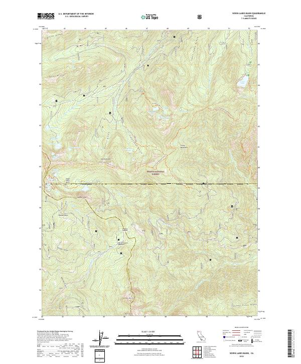
2022 Map of Seven Lakes Basin
USGS Topo · Published 2022About this map
The Shasta National Forest encompasses the high-elevation terrain of the Trinity Mountains in this modern survey, where the borders of Siskiyou, Shasta, and Trinity counties converge. The landscape is defined by its glacial hydrology, most notably the Seven Lakes Basin and a cluster of alpine waters including Castle Lake, Lake Helen, and Echo Lake. Long-established routes through this backcountry are documented, with the Pacific Crest National Scenic Trl traversing the ridges above Devils Pocket. This map also records several specific topographic and geological landmarks, such as the prominent Grey Rocks and Asbestos Gulch, reflecting the region's complex mineral and natural history. Significant clearings like Horse Heaven Meadows and summits such as Whalan Summit provide essential reference points for navigating these remote watersheds.
Find a feature on this map
59 named features on this map. Tap any name to fly to it.
Don’t see what you’re looking for? This feature index may not catch every label — zoom into the map to look around manually.
Map Details
Editions of this 2022 Seven Lakes Basin Map
This is the sole edition of this map. No revisions or reprints were ever made.
Other maps of this area

1886 · Shasta
USGS Topo · 1:250,000

1894 · Shasta
USGS Topo · 1:250,000

1923 · Sawyers Bar
USGS Topo · 1:125,000

1931 · Etna
USGS Topo · 1:96,000

1934 · Etna
USGS Topo · 1:125,000

1935 · Dunsmuir
USGS Topo · 1:125,000

1948 · Weed
USGS Topo · 1:250,000

1950 · Weed
USGS Topo · 1:250,000

1954 · Weed
USGS Topo · 1:62,500

1954 · Dunsmuir
USGS Topo · 1:62,500