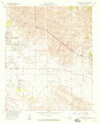
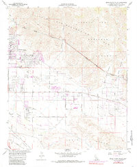
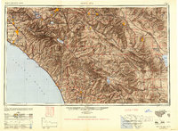
1958 Map of Seven Palms Valley
USGS Topo · Published 1959About this map
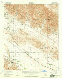
Desert Hot Springs emerges as a developing desert community along the foothills of the Little San Bernardino Mountains in this late 1950s survey. The landscape is defined by the vital infrastructure of the Colorado River Aqueduct, which cuts across the northern terrain to support the growing regional economy. To the south and east, the Seven Palms Valley and Coachella Valley are dotted with numerous Hot Water Wells, signaling the geothermal resources that fueled the area's development as a resort destination.
Find a feature on this map
35 named features on this map. Tap any name to fly to it.
Don’t see what you’re looking for? This feature index may not catch every label — zoom into the map to look around manually.
Map Details
Editions of this 1958 Seven Palms Valley Map
5 editions found
Other maps of this area

1901 · Southern California Sheet No. 1
USGS Topo · 1:250,000
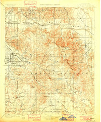
1901 · San Jacinto
USGS Topo · 1:125,000
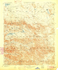
1902 · San Gorgonio
USGS Topo · 1:125,000

1904 · Southern California Sheet No. 1
USGS Topo · 1:250,000
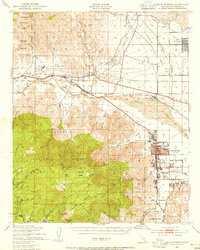
1940 · Palm Springs
USGS Topo · 1:62,500
1941 · Edom
USGS Topo · 1:62,500
1944 · Palm Springs
USGS Topo · 1:62,500
1944 · Edom
USGS Topo · 1:62,500
1947 · Santa Ana
USGS Topo · 1:250,000
1949 · Santa Ana
USGS Topo · 1:250,000