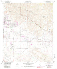
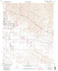
1958 Map of Seven Palms Valley
USGS Topo · Published 1985About this map
Desert Hot Springs and the surrounding desert floor are defined by geothermal activity and early mid-century resort development. The landscape is punctuated by numerous Hot Water Wells and thermal springs that fueled the growth of the region as a wellness destination. Early ranching and commercial layouts are evident in the footprints of the B Bar H Ranch, Circle B Ranch, and the storied Two Bunch Palms. To the north, the steep slopes of the Little San Bernardino Mountains descend into the valley, partially contained within the Joshua Tree National Monument.
Find a feature on this map
32 named features on this map. Tap any name to fly to it.
Don’t see what you’re looking for? This feature index may not catch every label — zoom into the map to look around manually.
Map Details
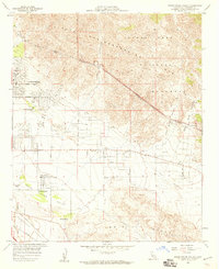
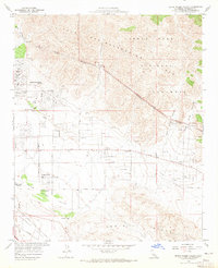
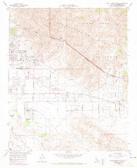
Editions of this 1958 Seven Palms Valley Map
5 editions found
Other maps of this area

1901 · Southern California Sheet No. 1
USGS Topo · 1:250,000

1901 · San Jacinto
USGS Topo · 1:125,000

1902 · San Gorgonio
USGS Topo · 1:125,000

1904 · Southern California Sheet No. 1
USGS Topo · 1:250,000

1940 · Palm Springs
USGS Topo · 1:62,500

1941 · Edom
USGS Topo · 1:62,500

1944 · Palm Springs
USGS Topo · 1:62,500

1944 · Edom
USGS Topo · 1:62,500

1947 · Santa Ana
USGS Topo · 1:250,000

1949 · Santa Ana
USGS Topo · 1:250,000