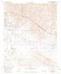
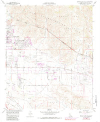
1958 Map of Seven Palms Valley
USGS Topo · Published 1973About this map
Desert Hot Springs serves as the primary hub of activity on this mid-century survey, showing its grid extending toward the foothills of the Little San Bernardino Mts. The map reveals a land transition from the high peaks of Joshua Tree National Monument down into the arid floor of the Coachella Valley. Critical water infrastructure, most notably the Colorado River Aqueduct, snakes across the northern canyons, including Long Canyon, illustrating the engineering required to support desert settlement. Along the valley floor, the development of numerous guest ranches and resorts like Two Bunch Palms, Miracle Hill, and B Bar H Ranch highlights the era’s burgeoning recreation economy. Toward the southern edge, the map identifies natural landmarks such as Willow Hole and Morongo Wash, showing the drainage patterns through the Indio Hills.
Find a feature on this map
39 named features on this map. Tap any name to fly to it.
Don’t see what you’re looking for? This feature index may not catch every label — zoom into the map to look around manually.
Map Details
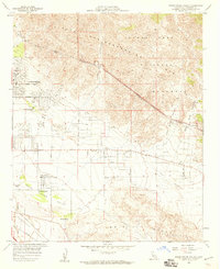
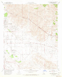
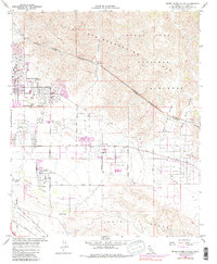
Editions of this 1958 Seven Palms Valley Map
5 editions found
Other maps of this area

1901 · Southern California Sheet No. 1
USGS Topo · 1:250,000

1901 · San Jacinto
USGS Topo · 1:125,000

1902 · San Gorgonio
USGS Topo · 1:125,000

1904 · Southern California Sheet No. 1
USGS Topo · 1:250,000

1940 · Palm Springs
USGS Topo · 1:62,500

1941 · Edom
USGS Topo · 1:62,500

1944 · Palm Springs
USGS Topo · 1:62,500

1944 · Edom
USGS Topo · 1:62,500

1947 · Santa Ana
USGS Topo · 1:250,000

1949 · Santa Ana
USGS Topo · 1:250,000