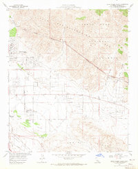
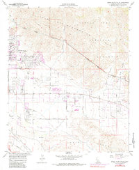
1958 Map of Seven Palms Valley
USGS Topo · Published 1965About this map
Desert Hot Springs stands at the northwestern edge of this 1950s desert landscape, where the alluvial fans of the Little San Bernardino Mountains meet the valley floor. The map documents a pivotal era of water infrastructure, dominated by the Coachella Valley Water District Colorado River Aqueduct and its associated tunnels cutting through the arid terrain.
Find a feature on this map
36 named features on this map. Tap any name to fly to it.
Don’t see what you’re looking for? This feature index may not catch every label — zoom into the map to look around manually.
Map Details
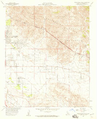
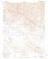
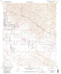
Editions of this 1958 Seven Palms Valley Map
5 editions found
Other maps of this area

1901 · Southern California Sheet No. 1
USGS Topo · 1:250,000

1901 · San Jacinto
USGS Topo · 1:125,000

1902 · San Gorgonio
USGS Topo · 1:125,000

1904 · Southern California Sheet No. 1
USGS Topo · 1:250,000

1940 · Palm Springs
USGS Topo · 1:62,500

1941 · Edom
USGS Topo · 1:62,500

1944 · Palm Springs
USGS Topo · 1:62,500

1944 · Edom
USGS Topo · 1:62,500

1947 · Santa Ana
USGS Topo · 1:250,000

1949 · Santa Ana
USGS Topo · 1:250,000