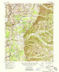
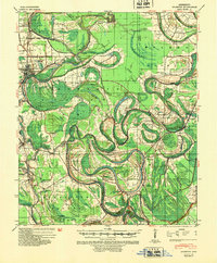
1958 Map of Seven Pines
USGS Topo · Published 1958About this map
The Yazoo River defines the western edge of this landscape, where the flat alluvial plains meet the rising bluffs of the Loess Hills. This transition is marked by a complex network of oxbows and backwaters like Fish Lake, Bee Lake, and Pinchback Lake, illustrating the river's historical movement before modern flood control measures were fully realized. The Illinois Central railroad runs parallel to the river, anchoring settlements such as Sidon, Cruger, and Keirn.
Find a feature on this map
93 named features on this map. Tap any name to fly to it.
Don’t see what you’re looking for? This feature index may not catch every label — zoom into the map to look around manually.
Map Details
Editions of this 1958 Seven Pines Map
This is the sole edition of this map. No revisions or reprints were ever made.
Other maps of this area
1931 · Schlater
USGS Topo · 1:48,000
1934 · Schlater
USGS Topo · 1:62,500
1936 · Greenwood
USGS Topo · 1:62,500
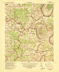
1939 · Schlater
USGS Topo · 1:62,500
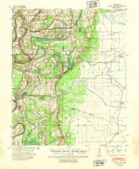
1940 · Seven Pines
USGS Topo · 1:62,500
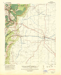
1940 · Lexington
USGS Topo · 1:62,500
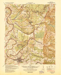
1940 · Greenwood
USGS Topo · 1:62,500
1940 · Mileston
USGS Topo · 1:62,500

1953 · Greenwood
USGS Topo · 1:250,000

1953 · West Point
USGS Topo · 1:250,000