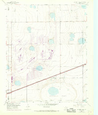
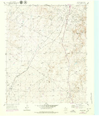
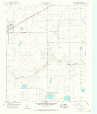
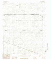
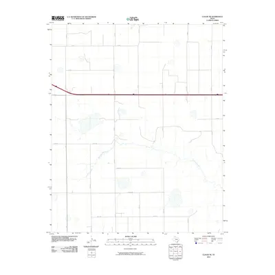
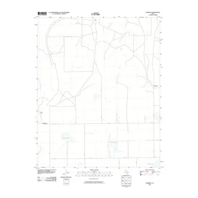
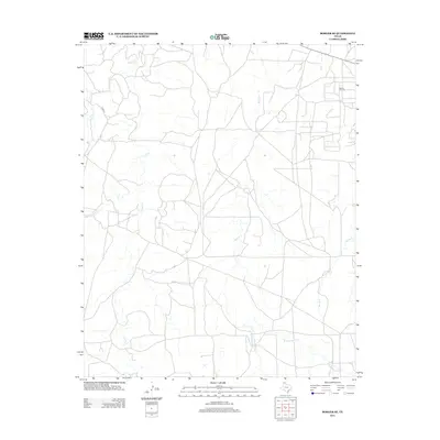
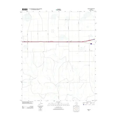
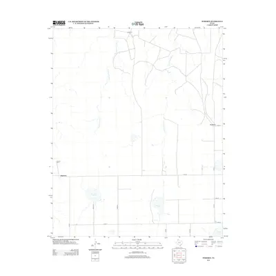
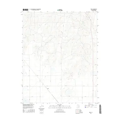
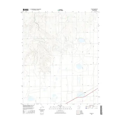
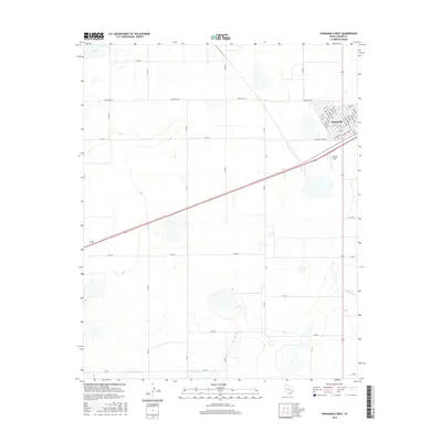
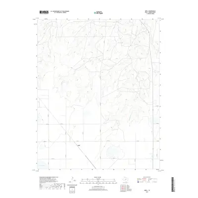
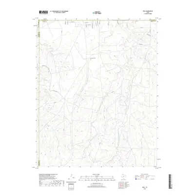
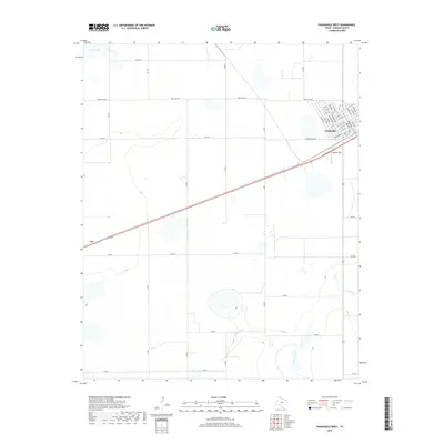
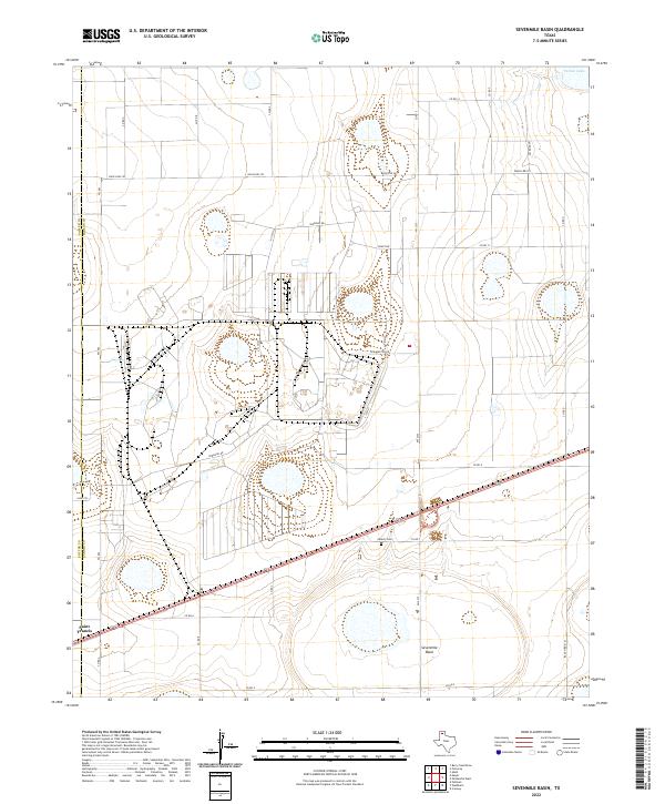
1953 Map of Sevenmile Basin
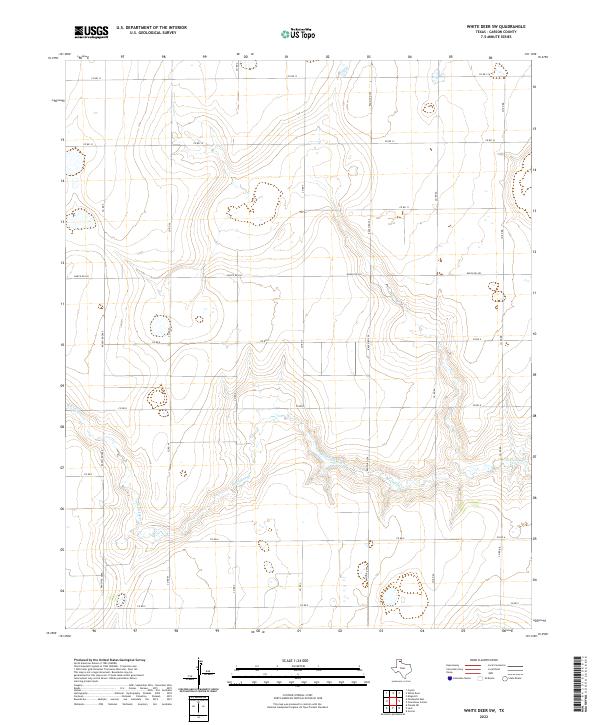
USGS Topo · Published 1968About this map
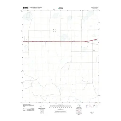
U S A E C Pantex Plant dominates this High Plains landscape, its industrial footprint etched into the panhandle terrain during a period of significant military-industrial expansion. The map records the complex operations of the Atomic Energy Commission facility alongside the Texas Technological College Research Farm, illustrating the shift from traditional ranching to specialized government and academic land use in the mid-20th century. The Atchison Topeka and Santa Fe railroad bisects the southern portion of the sheet, providing the critical logistics link for the region's industry and the small settlement at St Francis. Natural depressions like Pantex Lake and the broader Sevenmile Basin punctuate the landscape, while social hubs like Liberty Clubhouse and Tony Ridge Clubhouse suggest the persistent community life found within this administrative and industrial corridor.
Find a feature on this map
9 named features on this map. Tap any name to fly to it.
Don’t see what you’re looking for? This feature index may not catch every label — zoom into the map to look around manually.
Map Details
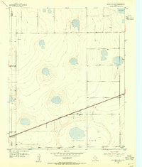
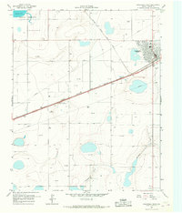
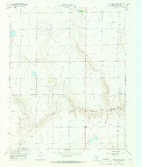
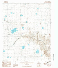
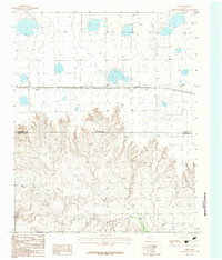
Editions of this 1953 Sevenmile Basin Map
Historical Maps of Saint Francis Through Time
78 maps found
1953 Borger SE
Carson County, TX
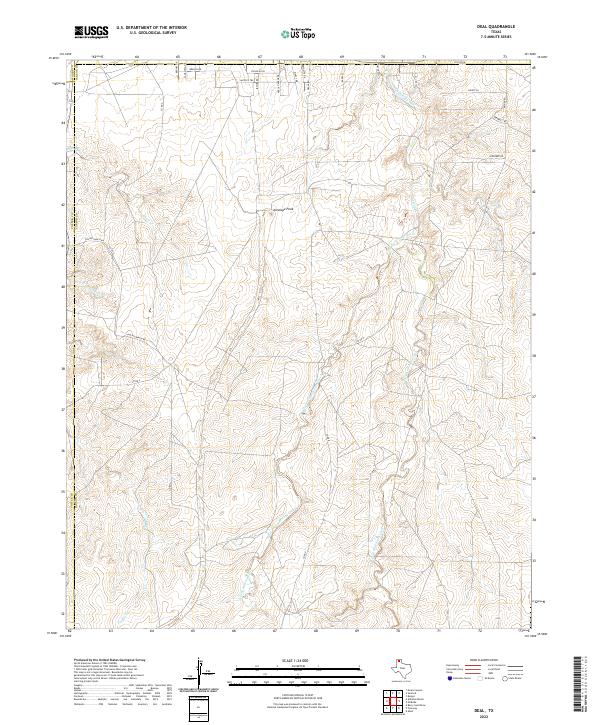
1953 Deal
Carson County, TX
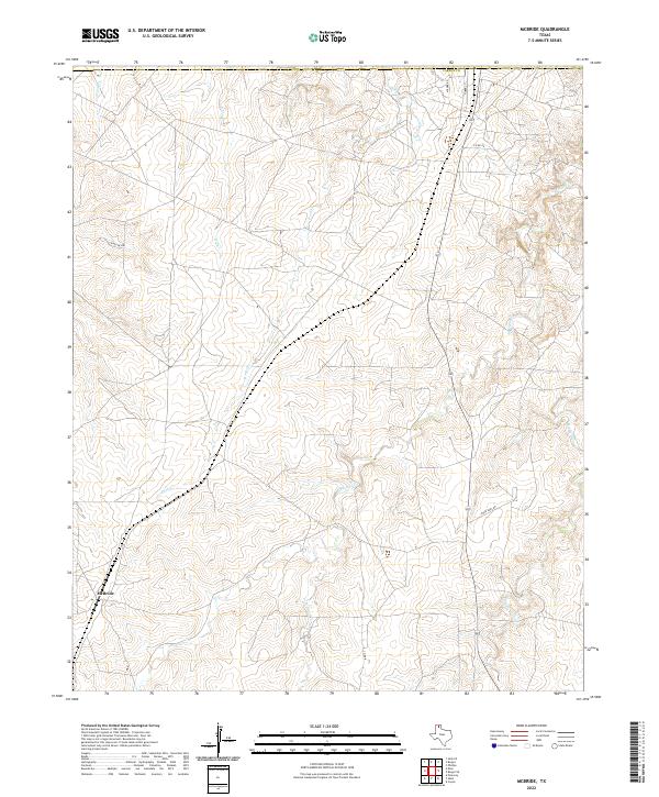
1953 McBride
Carson County, TX

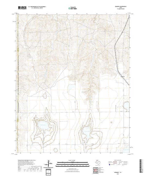
1953 Pomeroy
Carson County, TX
1953 Sevenmile Basin
Carson County, TX
1965 Abell
Carson County, TX
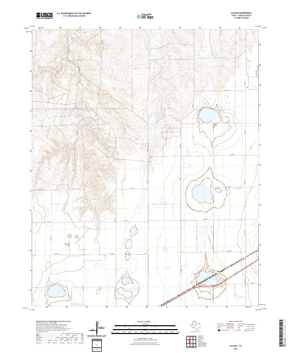
1966 Cuyler
Carson County, TX
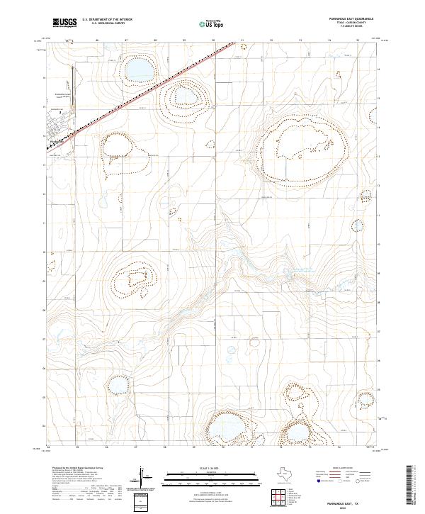
1966 Panhandle East
Carson County, TX
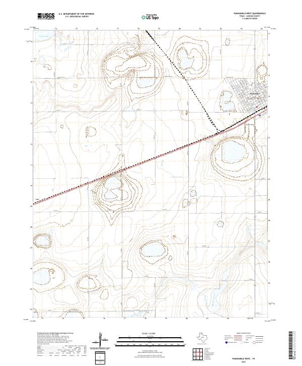
1966 Panhandle West
Carson County, TX
1966 White Deer SW
Carson County, TX
1983 Claude NE
Carson County, TX
1983 Conway
Carson County, TX
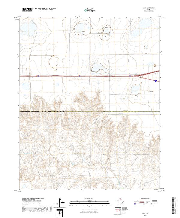
1983 Lark
Carson County, TX
2010 Abell
Carson County, TX
2010 Borger SE
Carson County, TX
2010 Claude NE
Carson County, TX
2010 Conway
Carson County, TX
2010 Cuyler
Carson County, TX
2010 Deal
Carson County, TX
2010 Lark
Carson County, TX
2010 McBride
Carson County, TX
2010 Panhandle East
Carson County, TX
2010 Panhandle West
Carson County, TX
2010 Pomeroy
Carson County, TX
2010 Sevenmile Basin
Carson County, TX
2010 White Deer SW
Carson County, TX
2012 Abell
Carson County, TX
2012 Borger SE
Carson County, TX
2012 Claude NE
Carson County, TX
2012 Conway
Carson County, TX
2012 Cuyler
Carson County, TX
2012 Lark
Carson County, TX
2012 McBride
Carson County, TX
2012 Panhandle East
Carson County, TX
2012 Panhandle West
Carson County, TX
2012 Pomeroy
Carson County, TX
2012 Sevenmile Basin
Carson County, TX
2012 White Deer SW
Carson County, TX
2013 Deal
Carson County, TX
2016 Abell
Carson County, TX
2016 Borger SE
Carson County, TX
2016 Claude NE
Carson County, TX
2016 Conway
Carson County, TX
2016 Cuyler
Carson County, TX
2016 Deal
Carson County, TX
2016 Lark
Carson County, TX
2016 McBride
Carson County, TX

2016 Panhandle East
Carson County, TX
2016 Panhandle West
Carson County, TX
2016 Pomeroy
Carson County, TX
2016 Sevenmile Basin
Carson County, TX
2016 White Deer SW
Carson County, TX
2019 Abell
Carson County, TX
2019 Borger SE
Carson County, TX

2019 Claude NE
Carson County, TX
2019 Conway
Carson County, TX
2019 Cuyler
Carson County, TX
2019 Deal
Carson County, TX
2019 Lark
Carson County, TX
2019 McBride
Carson County, TX
2019 Panhandle East
Carson County, TX
2019 Panhandle West
Carson County, TX
2019 Pomeroy
Carson County, TX
2019 Sevenmile Basin
Carson County, TX
2019 White Deer SW
Carson County, TX
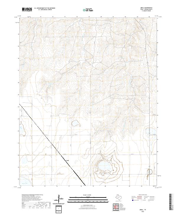
2022 Abell
Carson County, TX
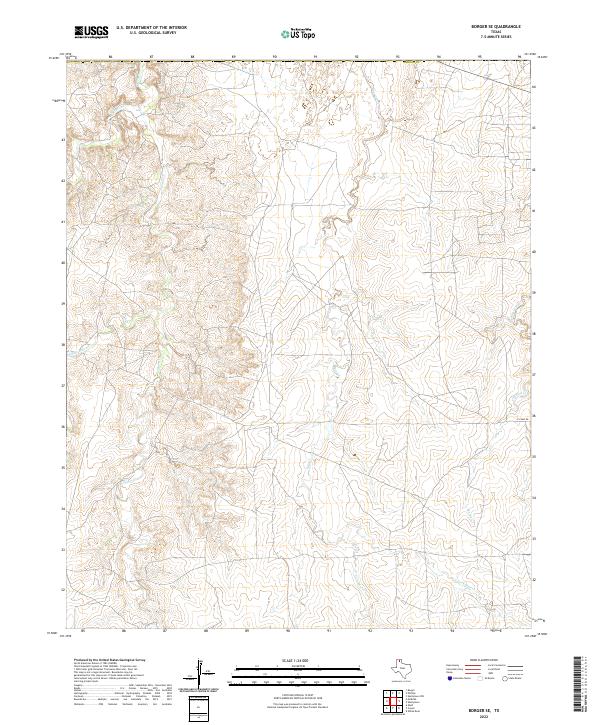
2022 Borger SE
Carson County, TX
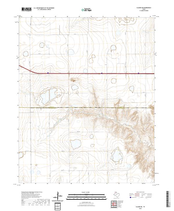
2022 Claude NE
Carson County, TX
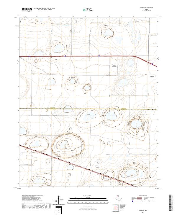
2022 Conway
Carson County, TX
2022 Cuyler
Carson County, TX
2022 Deal
Carson County, TX
2022 Lark
Carson County, TX
2022 McBride
Carson County, TX
2022 Panhandle East
Carson County, TX
2022 Panhandle West
Carson County, TX
2022 Pomeroy
Carson County, TX
2022 Sevenmile Basin
Carson County, TX
2022 White Deer SW
Carson County, TX