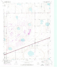
1953 Map of Sevenmile Basin
USGS Topo · Published 1975About this map
The U S A E C Pantex Plant and the Texas Technological College Research Farm dominate this Panhandle landscape, representing the intersection of mid-century industrial expansion and agricultural science. Located along the Potter Co Carson Co line, the terrain is characterized by the broad, natural depression of the Sevenmile Basin. The map captures a moment of transition in the 1950s, with later revisions in the 1970s illustrating the complex layout of the nuclear weapons assembly plant and the adjacent collegiate research facility.
Find a feature on this map
10 named features on this map. Tap any name to fly to it.
Don’t see what you’re looking for? This feature index may not catch every label — zoom into the map to look around manually.
Map Details
Editions of this 1953 Sevenmile Basin Map
Other maps of this area

1953 · Mayer
USGS Topo · 1:24,000

1953 · Pomeroy
USGS Topo · 1:24,000

1953 · Berry Sand Draw
USGS Topo · 1:24,000

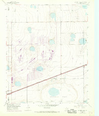
1953 · Sevenmile Basin
USGS Topo · 1:24,000

1954 · Amarillo
USGS Topo · 1:250,000

1956 · Washburn
USGS Topo · 1:24,000

1956 · Pullman
USGS Topo · 1:24,000

1958 · Amarillo
USGS Topo · 1:250,000

1960 · Claude
USGS Topo · 1:62,500

1965 · Abell
USGS Topo · 1:24,000