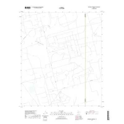
2019 Map of Sevenmile Corner NE
USGS Topo · Published 2019About this map
High Lonesome Draw defines the northern terrain of this West Texas landscape, cutting a wide path through the arid plateau. The 2019 survey documents a network of rural routes and industrial access ways, including Fm 2594 and the uniquely named CORD 112-Shell Rd, which reflect the region's long-standing connection to the energy industry. Situated along the Upton Co Reagan Co line, the map illustrates the sparse, grid-like division of land typical of the Permian Basin's oil-producing areas. These roads, such as Co Rd 252 and Hartgrove Rd, provide essential transit between widely dispersed lease sites and ranching operations, marking the modern intersection of traditional agriculture and contemporary resource extraction.
Find a feature on this map
9 named features on this map. Tap any name to fly to it.
Don’t see what you’re looking for? This feature index may not catch every label — zoom into the map to look around manually.
Map Details
Editions of this 2019 Sevenmile Corner NE Map
This is the sole edition of this map. No revisions or reprints were ever made.
Other maps of this area

1928 · Rankin
USGS Topo · 1:125,000

1954 · San Angelo
USGS Topo · 1:250,000

1958 · San Angelo
USGS Topo · 1:250,000

1965 · San Angelo
USGS Topo · 1:250,000

1968 · Midkiff SW
USGS Topo · 1:24,000

1968 · Midkiff SE
USGS Topo · 1:24,000

1970 · Sevenmile Corner NE
USGS Topo · 1:24,000

1970 · Stiles NW
USGS Topo · 1:24,000

1970 · Lindsey Ranch
USGS Topo · 1:24,000

1970 · Sevenmile Corner SE
USGS Topo · 1:24,000