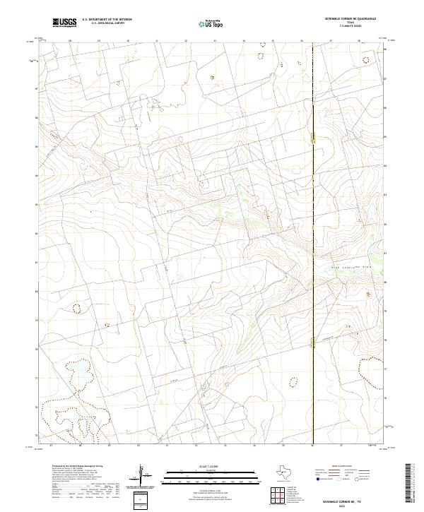
2022 Map of Sevenmile Corner NE
USGS Topo · Published 2022About this map
High Lonesome Draw winds through this West Texas landscape, defining the drainage patterns in a region where the Upton Co Reagan Co line marks the political divide. The terrain is characterized by a network of industrial and rural corridors, most notably FM 2594 which serves as a primary north-south artery. A dense grid of secondary routes, such as Cord 112-Shell Rd and Hartgrove Rd, indicates significant land use typical of the Permian Basin's energy and ranching sectors. The geometric precision of these roads, including Co Rd 136 and Co Rd 252, contrasts with the subtle natural contours of the draws, providing a clear record of modern infrastructure development in the expansive plateau country of Upton County.
Find a feature on this map
10 named features on this map. Tap any name to fly to it.
Don’t see what you’re looking for? This feature index may not catch every label — zoom into the map to look around manually.
Map Details
Editions of this 2022 Sevenmile Corner NE Map
This is the sole edition of this map. No revisions or reprints were ever made.
Other maps of this area

1928 · Rankin
USGS Topo · 1:125,000

1954 · San Angelo
USGS Topo · 1:250,000

1958 · San Angelo
USGS Topo · 1:250,000

1965 · San Angelo
USGS Topo · 1:250,000

1968 · Midkiff SW
USGS Topo · 1:24,000

1968 · Midkiff SE
USGS Topo · 1:24,000

1970 · Sevenmile Corner NE
USGS Topo · 1:24,000

1970 · Stiles NW
USGS Topo · 1:24,000

1970 · Lindsey Ranch
USGS Topo · 1:24,000

1970 · Sevenmile Corner SE
USGS Topo · 1:24,000