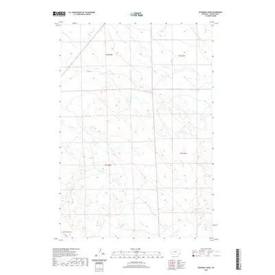
2020 Map of Sevenmile Creek
USGS Topo · Published 2020About this map
Stoneville Flats anchors the southwestern corner of this 2020 landscape in Carter County, where the topography is defined by a series of north-flowing drainage systems. The area is characterized by the rhythmic spacing of prairie watercourses, including Sevenmile Cr, Ninemile Cr, and Fivemile Cr, which carve subtle paths through the high plains. Human infrastructure is notably sparse in this corner of Montana, represented primarily by the straight-line corridors of the Public Land Survey System and local ranch access points like Six Mile Ln. The map details the headwaters of the Owl Creek drainage, featuring the S Fork Owl Cr, providing a contemporary record of water distribution and land management in a remote ranching region.
Find a feature on this map
11 named features on this map. Tap any name to fly to it.
Don’t see what you’re looking for? This feature index may not catch every label — zoom into the map to look around manually.
Map Details
Editions of this 2020 Sevenmile Creek Map
This is the sole edition of this map. No revisions or reprints were ever made.
Other maps of this area

1901 · Aladdin
USGS Topo · 1:125,000

1903 · Aladdin
USGS Topo · 1:125,000

1954 · Ekalaka
USGS Topo · 1:250,000

1954 · Gillette
USGS Topo · 1:250,000

1955 · Gillette
USGS Topo · 1:250,000

1956 · Ekalaka
USGS Topo · 1:250,000

1957 · Mona
USGS Topo · 1:62,500

1957 · Colony
USGS Topo · 1:62,500

1958 · Gillette
USGS Topo · 1:250,000

1958 · Ekalaka
USGS Topo · 1:250,000