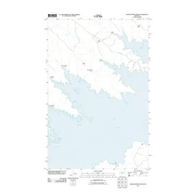
2011 Map of Seventh Point Buttes
USGS Topo · Published 2011About this map
Fort Peck Lake dominates this Montana landscape, where the rising waters have carved a complex shoreline of inlets and points into the high plains. The topography is defined by a series of numbered ridges and drainages, such as Fourth Ridge, Fifth Ridge, and Sixth Ridge, which reflect the systematic naming of the land as it descends toward the reservoir. The namesake Seventh Point Buttes stand as a primary landmark above the water, while deep incisions like Seventh Point Coulee and Sixth Coulee provide significant local relief. Access to this corner of Valley County is maintained through local routes like The Pines Rd and Holladay Point Rd, which wind through the terrain to reach the lake's edge at Bell Point and the depression known as The Sag.
Find a feature on this map
17 named features on this map. Tap any name to fly to it.
Don’t see what you’re looking for? This feature index may not catch every label — zoom into the map to look around manually.
Map Details
Editions of this 2011 Seventh Point Buttes Map
This is the sole edition of this map. No revisions or reprints were ever made.
Other maps of this area

1954 · Jordan
USGS Topo · 1:250,000

1956 · Jordan
USGS Topo · 1:250,000

1958 · Jordan
USGS Topo · 1:250,000

1958 · Collins Ranch
USGS Topo · 1:62,500

1958 · Maloney Hill
USGS Topo · 1:62,500

1958 · Lewis Reservoir
USGS Topo · 1:24,000

1958 · Sage Creek Point
USGS Topo · 1:24,000
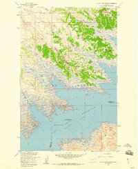
1958 · Seventh Point Buttes
USGS Topo · 1:24,000
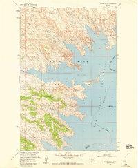
1958 · Skunk Coulee
USGS Topo · 1:24,000

1964 · Jordan
USGS Topo · 1:250,000