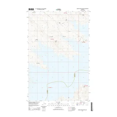
2014 Map of Seventh Point Buttes
USGS Topo · Published 2014About this map
Fort Peck Lake dominates this landscape, its intricate shoreline carving deep into the rugged breaks of northeastern Montana. The terrain is characterized by a series of successive landforms, most notably the Seventh Point Buttes and a sequence of numbered ridges and coulees that move from the Fourth Ridge in the northeast down toward the water. This 2014 survey captures the interface between Valley Co and Garfield Co, where the lake occupies the old Missouri River valley. Access across this sparsely populated region is maintained by a network of unimproved routes including The Pines Rd and Holladay Point Rd, which wind along the plateau edges. The map illustrates how the massive reservoir has transformed the local geography, creating isolated points like Bell Point and deep drainage features such as The Sag.
Find a feature on this map
24 named features on this map. Tap any name to fly to it.
Don’t see what you’re looking for? This feature index may not catch every label — zoom into the map to look around manually.
Map Details
Editions of this 2014 Seventh Point Buttes Map
This is the sole edition of this map. No revisions or reprints were ever made.
Other maps of this area

1954 · Jordan
USGS Topo · 1:250,000

1956 · Jordan
USGS Topo · 1:250,000

1958 · Jordan
USGS Topo · 1:250,000

1958 · Collins Ranch
USGS Topo · 1:62,500

1958 · Maloney Hill
USGS Topo · 1:62,500

1958 · Lewis Reservoir
USGS Topo · 1:24,000

1958 · Sage Creek Point
USGS Topo · 1:24,000
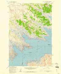
1958 · Seventh Point Buttes
USGS Topo · 1:24,000
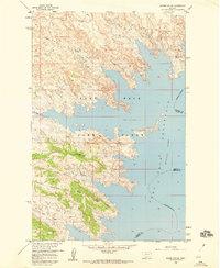
1958 · Skunk Coulee
USGS Topo · 1:24,000

1964 · Jordan
USGS Topo · 1:250,000