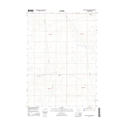
2015 Map of Seventy One Reservoir
USGS Topo · Published 2015About this map
Seventy-one Reservoir serves as a focal point for water management in this arid stretch of Fremont County, where drainage systems like Deer Cr and Canyon Cr define the movement of water through the high desert. The landscape is marked by topographic transitions such as the Moneta Divide and the open expanse of Merriam Meadows in the northeast. This 2015 U.S. Geological Survey representation details a network of ranching and utility roads, including Buck Camp Rd and Castle Garden Rd, which cross through the townships of the Wind River Basin. The presence of Chalk Hills Draw suggests the characteristic erosional patterns of the region, providing a clear look at the terrain as it appeared before further modern energy development or landscape changes in the 21st century.
Find a feature on this map
13 named features on this map. Tap any name to fly to it.
Don’t see what you’re looking for? This feature index may not catch every label — zoom into the map to look around manually.
Map Details
Editions of this 2015 Seventy One Reservoir Map
This is the sole edition of this map. No revisions or reprints were ever made.
Other maps of this area

1952 · Seventy-one Reservoir
USGS Topo · 1:24,000

1952 · Squaw Butte NE
USGS Topo · 1:24,000

1952 · Squaw Butte
USGS Topo · 1:24,000

1952 · Moneta
USGS Topo · 1:24,000

1952 · Love Ranch
USGS Topo · 1:24,000

1952 · Madden
USGS Topo · 1:24,000

1952 · Butte Well
USGS Topo · 1:24,000

1952 · Moneta SE
USGS Topo · 1:24,000

1952 · Miles Ranch
USGS Topo · 1:24,000

1955 · Arminto
USGS Topo · 1:250,000