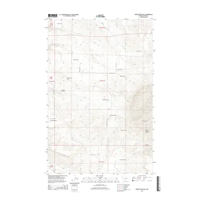
2014 Map of Seventytwo Hills
USGS Topo · Published 2014About this map
Seventytwo Hills and the rugged slopes of the North Moccasin Mountains dominate this central Montana landscape. The terrain is defined by a series of deep drainages and erosional features, including McClure Gulch, Sennett Canyon, and Bedrock Canyon, which carve through the high plains. The agricultural and ranching character of the region is evident in the network of rural roads such as Ming Coulee Rd and 72 Bench Rd that connect isolated flats and benches. Water sources are vital in this arid environment, with Willow Cr and Plum Cr flowing through the northern sections, while Warm Spring Cr and Alkali Cr mark the southern reaches. This survey provides a clear view of the complex topography between Marshall Flat and the Seventytwo Bench, where land use is dictated by the dramatic rises and falls of the coulees.
Find a feature on this map
30 named features on this map. Tap any name to fly to it.
Don’t see what you’re looking for? This feature index may not catch every label — zoom into the map to look around manually.
Map Details
Editions of this 2014 Seventytwo Hills Map
This is the sole edition of this map. No revisions or reprints were ever made.
Other maps of this area

1941 · Lewistown
USGS Topo · 1:62,500

1944 · Lewistown
USGS Topo · 1:62,500

1954 · Lewistown
USGS Topo · 1:250,000

1959 · Lewistown
USGS Topo · 1:250,000

1970 · Danvers
USGS Topo · 1:24,000

1970 · Spring Creek Junction
USGS Topo · 1:24,000

1978 · Wild Bill Flat West
USGS Topo · 1:24,000

1978 · Toney Bench
USGS Topo · 1:24,000

1978 · Seventytwo Hills
USGS Topo · 1:24,000

1978 · Wild Bill Flat East
USGS Topo · 1:24,000