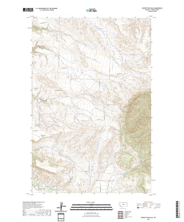
2024 Map of Seventytwo Hills
USGS Topo · Published 2024About this map
The North Moccasin Mountains rise sharply in the southern portion of this central Montana landscape, marking a transition from the drainage basins of Willow Creek and Plum Creek into more varied terrain. This high-altitude topography is defined by significant landmarks like the Seventytwo Hills and the broad Seventytwo Bench, which likely historically served as orienting features for early travelers and ranchers. The area is characterized by a series of deep cuts including Bedrock Canyon, Sennett Canyon, and McClure Gulch, which channel seasonal runoff from the peaks. Local ranching and access routes are reflected in the modern road network, which includes Ming Coulee Rd and Guslander Rd, following the natural contours of the coulees and flats like Marshall Flat.
Find a feature on this map
29 named features on this map. Tap any name to fly to it.
Don’t see what you’re looking for? This feature index may not catch every label — zoom into the map to look around manually.
Map Details
Editions of this 2024 Seventytwo Hills Map
This is the sole edition of this map. No revisions or reprints were ever made.
Other maps of this area

1941 · Lewistown
USGS Topo · 1:62,500

1944 · Lewistown
USGS Topo · 1:62,500

1954 · Lewistown
USGS Topo · 1:250,000

1959 · Lewistown
USGS Topo · 1:250,000

1970 · Danvers
USGS Topo · 1:24,000

1970 · Spring Creek Junction
USGS Topo · 1:24,000

1978 · Wild Bill Flat West
USGS Topo · 1:24,000

1978 · Toney Bench
USGS Topo · 1:24,000

1978 · Seventytwo Hills
USGS Topo · 1:24,000

1978 · Wild Bill Flat East
USGS Topo · 1:24,000