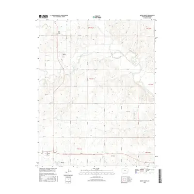
2015 Map of Severy North
USGS Topo · Published 2015About this map
The town of Climax and the northern edge of Severy anchor this section of Greenwood County, where the landscape is defined by the convergence of several major waterways. The Fall River and its broad valley dominate the northeast, feeding into Fall River Lake, while a network of smaller tributaries including Otter Creek, Snake Cr, and Casner Cr carve through the agricultural grid. This topography created early transportation challenges, evidenced by landmarks like the Honey Creek Bridge crossing Honey Creek. The rural road network, composed largely of township roads like TWP RD 594 and TWP RD 410, follows the section lines of the Public Land Survey System. Genealogists can identify established burial grounds such as Twin Grove Cem and Lawn Cem, providing essential anchor points for family history research in this prairie environment.
Find a feature on this map
66 named features on this map. Tap any name to fly to it.
Don’t see what you’re looking for? This feature index may not catch every label — zoom into the map to look around manually.
Map Details
Editions of this 2015 Severy North Map
This is the sole edition of this map. No revisions or reprints were ever made.
Other maps of this area

1885 · Eureka
USGS Topo · 1:125,000

1888 · Eureka
USGS Topo · 1:125,000

1894 · Eureka
USGS Topo · 1:125,000

1939 · Severy
USGS Topo · 1:62,500

1941 · Severy
USGS Topo · 1:62,500

1955 · Wichita
USGS Topo · 1:250,000

1958 · Wichita
USGS Topo · 1:250,000
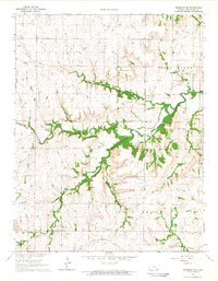
1964 · Piedmont NE
USGS Topo · 1:24,000
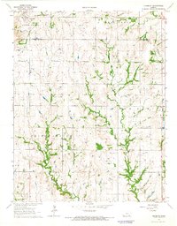
1964 · Piedmont
USGS Topo · 1:24,000
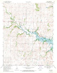
1969 · Neal
USGS Topo · 1:24,000