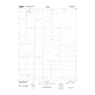
2009 Map of Severy South
USGS Topo · Published 2009About this map
Severy anchors the northern edge of this Kansas prairie landscape, its grid defined by streets like W Main St and Market St. To the south, the rural settlement of Fiat sits at the junction of 156 Rd and 176 Rd, surrounded by a section-line road network that segments the Flint Hills terrain. The hydrology of the area is shaped by the meandering paths of Salt Creek, Plum Creek, and Indian Creek, which cut across the limestone-underlaid pastures.
Find a feature on this map
37 named features on this map. Tap any name to fly to it.
Don’t see what you’re looking for? This feature index may not catch every label — zoom into the map to look around manually.
Map Details
Editions of this 2009 Severy South Map
This is the sole edition of this map. No revisions or reprints were ever made.
Other maps of this area

1885 · Eureka
USGS Topo · 1:125,000

1885 · Sedan
USGS Topo · 1:125,000

1888 · Eureka
USGS Topo · 1:125,000

1889 · Sedan
USGS Topo · 1:125,000

1894 · Eureka
USGS Topo · 1:125,000

1939 · Severy
USGS Topo · 1:62,500

1941 · Severy
USGS Topo · 1:62,500

1955 · Wichita
USGS Topo · 1:250,000

1958 · Wichita
USGS Topo · 1:250,000
1964 · Longton
USGS Topo · 1:24,000