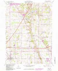
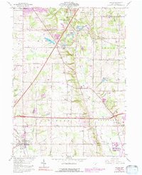
1961 Map of Seville
USGS Topo · Published 1984About this map
Seville and the surrounding townships of Guilford, Montville, Sharon, and Wadsworth reveal a landscape defined by glacial hydrology and early settlement patterns. Significant historical depth is evident in landmarks like the Indian Mound and the concentrations of small burial grounds such as Mound Hill Cem and Blake Cem. The drainage of the River Styx and Chippewa creek systems once dictated the placement of early centers like Poe and Acme, while the mid-century infrastructure of the Baltimore and Ohio and Norfolk and Western railroads provided the industrial backbone for the region.
Find a feature on this map
55 named features on this map. Tap any name to fly to it.
Don’t see what you’re looking for? This feature index may not catch every label — zoom into the map to look around manually.
Map Details
Editions of this 1961 Seville Map
5 editions found
Other maps of this area

1901 · Massillon
USGS Topo · 1:62,500

1901 · Wooster
USGS Topo · 1:62,500

1903 · Massillon
USGS Topo · 1:62,500

1903 · Wooster
USGS Topo · 1:62,500

1903 · Akron
USGS Topo · 1:62,500

1904 · Medina
USGS Topo · 1:62,500

1905 · Akron
USGS Topo · 1:62,500

1906 · Medina
USGS Topo · 1:62,500

1950 · Cleveland
USGS Topo · 1:250,000

1951 · Canton
USGS Topo · 1:250,000