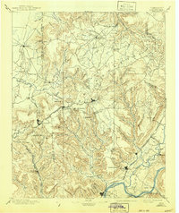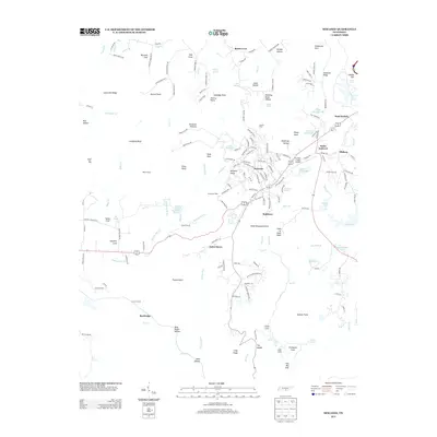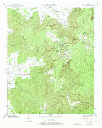
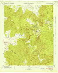
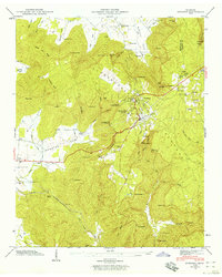
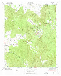
1946 Map of Sewanee
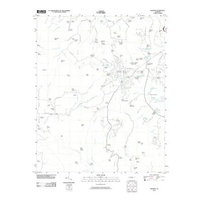
USGS Topo · Published 1972About this map
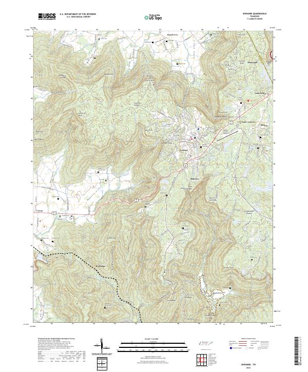
The University of the South anchors this portion of the Cumberland Plateau, where academic and ecclesiastical life met the industrial demands of the mid-20th century. High atop the sandstone bluffs, the Sewanee Military Academy and St Andrews Sch stand near the town of Sewanee, overlooking a landscape defined by dramatic elevation changes. The Nashville Chattanooga and St Louis RR navigates this complex terrain by passing through the Cowan Tunnel beneath Tunnel Point, a critical engineering feat for North-South rail transport at the time.
Find a feature on this map
90 named features on this map. Tap any name to fly to it.
Don’t see what you’re looking for? This feature index may not catch every label — zoom into the map to look around manually.
Map Details
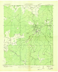
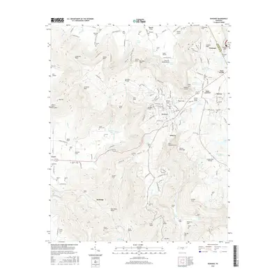
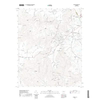
Editions of this 1946 Sewanee Map
4 editions found
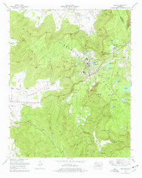
Historical Maps of Sewanee Through Time
9 maps found