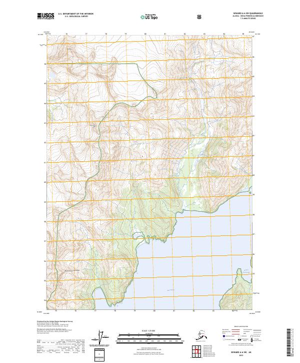
2023 Map of Seward A-6 SW
USGS Topo · Published 2023About this map
Chugach National Forest and the Alaska Maritime National Wildlife Refuge dominate this coastal Alaskan landscape, where the rugged topography of the Resurrection Peninsula meets the cold waters of Day Harbor. High peaks such as Santa Ana Peak and Mt Mary define the interior, their steep slopes descending sharply toward the shoreline. The interaction between the glaciated terrain and the sea is evidenced by the deep indentations of Talus Bay and the sheltered waters of Bowen Anchorage. This 2023 survey by the U.S. Geological Survey details the complex hydrology and relief of the Kenai Peninsula, emphasizing the wild, undeveloped character of these protected federal lands. The map serves as a contemporary record of a region where the environment remains largely shaped by natural forces rather than human settlement.
Find a feature on this map
13 named features on this map. Tap any name to fly to it.
Don’t see what you’re looking for? This feature index may not catch every label — zoom into the map to look around manually.
Map Details
Editions of this 2023 Seward A-6 SW Map
This is the sole edition of this map. No revisions or reprints were ever made.
Other maps of this area

1946 · Blying Sound
USGS Topo · 1:250,000

1950 · Seward A-6
USGS Topo · 1:63,360

1950 · Blying Sound D-7
USGS Topo · 1:63,360

1950 · Blying Sound D-6
USGS Topo · 1:63,360

1950 · Seward A-7
USGS Topo · 1:63,360

1951 · Blying Sound
USGS Topo · 1:250,000

1951 · Seward
USGS Topo · 1:250,000

1951 · Seward A-6
USGS Topo · 1:63,360

1951 · Seward A-7
USGS Topo · 1:63,360

1951 · Blying Sound D-7
USGS Topo · 1:63,360