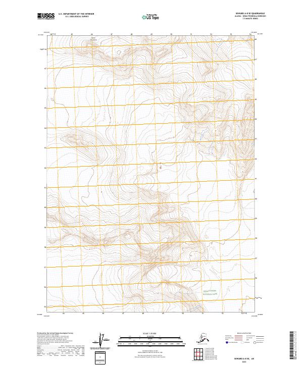
2023 Map of Seward A-8 SE
USGS Topo · Published 2023About this map
Kenai Mountains define the high-altitude landscape of this 2023 survey in the Kenai Peninsula Borough. The topography is dominated by steep elevations and glacial landforms, showing the stark transition from mountain peaks to the protected wilderness of Kenai Fjords National Park. Located in the southern portion of the sheet, the park boundary marks a region characterized by its lack of infrastructure and focus on natural preservation. The map details the complex Public Land Survey System divisions, including t1s r3w and t2s r2w, which help orient this remote section of Alaska where human settlement is absent and the terrain remains wild.
Find a feature on this map
6 named features on this map. Tap any name to fly to it.
Don’t see what you’re looking for? This feature index may not catch every label — zoom into the map to look around manually.
Map Details
Editions of this 2023 Seward A-8 SE Map
This is the sole edition of this map. No revisions or reprints were ever made.
Other maps of this area

1946 · Blying Sound
USGS Topo · 1:250,000

1950 · Seward A-8
USGS Topo · 1:63,360

1950 · Blying Sound D-7
USGS Topo · 1:63,360

1950 · Seward A-7
USGS Topo · 1:63,360

1951 · Blying Sound
USGS Topo · 1:250,000

1951 · Seward
USGS Topo · 1:250,000

1951 · Seward A-7
USGS Topo · 1:63,360
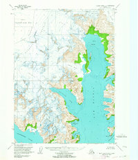
1951 · Blying Sound D-8
USGS Topo · 1:63,360

1951 · Blying Sound D-7
USGS Topo · 1:63,360

1951 · Seward A-8
USGS Topo · 1:63,360