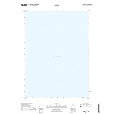
2018 Map of Seward C-1 SE
USGS Topo · Published 2018About this map
Prince William Sound dominates this coastal Alaska survey, representing an expanse of the Gulf of Alaska's northern reaches. This specific quadrangle covers an area within the Prince William Sound waters, highlighting the maritime character of the Valdez-Cordova Census Area. Unlike many terrestrial maps, the focus here is strictly on the hydrographic extent of this famous sound. The absence of landmasses or terrestrial settlements underscores the importance of the open water for navigation and local transport in this part of the Unorganized Borough.
Find a feature on this map
1 named feature on this map. Tap any name to fly to it.
Don’t see what you’re looking for? This feature index may not catch every label — zoom into the map to look around manually.
Map Details
Editions of this 2018 Seward C-1 SE Map
This is the sole edition of this map. No revisions or reprints were ever made.
Other maps of this area

1948 · Cordova
USGS Topo · 1:250,000

1950 · Cordova C-8
USGS Topo · 1:63,360

1951 · Seward
USGS Topo · 1:250,000

1951 · Cordova
USGS Topo · 1:250,000

1951 · Seward B-1
USGS Topo · 1:63,360

1951 · Seward C-1
USGS Topo · 1:63,360

1951 · Cordova B-8
USGS Topo · 1:63,360

1952 · Seward C-1
USGS Topo · 1:63,360

1952 · Seward B-1
USGS Topo · 1:63,360

1952 · Cordova C-8
USGS Topo · 1:63,360