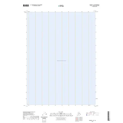
2023 Map of Seward C-1 SE
USGS Topo · Published 2023About this map
Prince William Sound dominates this coastal landscape in the Chugach Census Area. This contemporary topographic sheet, produced by the U.S. Geological Survey, focuses almost entirely on the open maritime expanse of the sound. While the map is sparse regarding terrestrial landmarks, it defines a significant portion of this legendary Alaskan waterway, serving as a clean geographic reference for the marine environment before any modern shoreline alterations or navigational developments are noted. The lack of interior roads or settlements highlights the isolation of this specific coastal sector within the larger Alaskan wilderness.
Find a feature on this map
1 named feature on this map. Tap any name to fly to it.
Don’t see what you’re looking for? This feature index may not catch every label — zoom into the map to look around manually.
Map Details
Editions of this 2023 Seward C-1 SE Map
This is the sole edition of this map. No revisions or reprints were ever made.
Other maps of this area

1948 · Cordova
USGS Topo · 1:250,000

1950 · Cordova C-8
USGS Topo · 1:63,360

1951 · Seward
USGS Topo · 1:250,000

1951 · Cordova
USGS Topo · 1:250,000

1951 · Seward B-1
USGS Topo · 1:63,360

1951 · Seward C-1
USGS Topo · 1:63,360

1951 · Cordova B-8
USGS Topo · 1:63,360

1952 · Seward C-1
USGS Topo · 1:63,360

1952 · Seward B-1
USGS Topo · 1:63,360

1952 · Cordova C-8
USGS Topo · 1:63,360