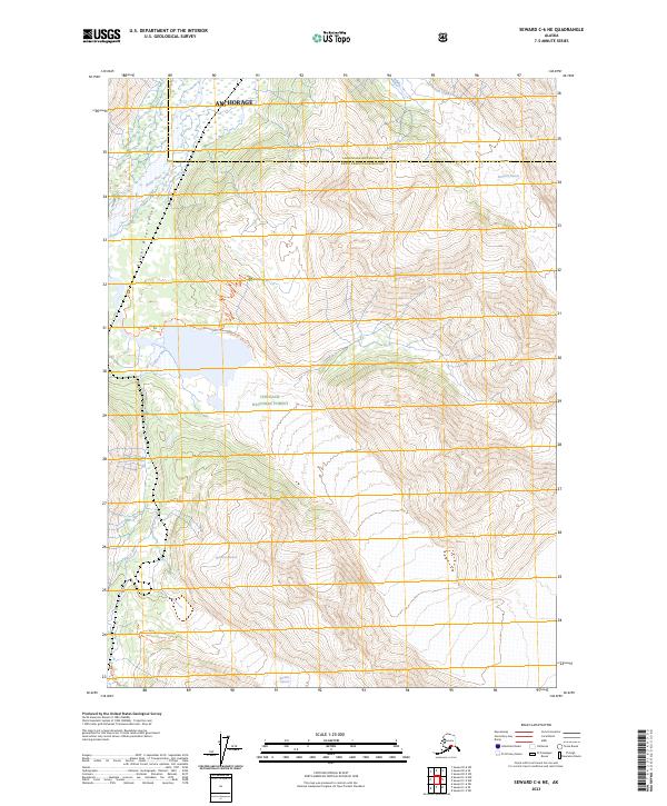
2023 Map of Seward C-6 NE
USGS Topo · Published 2023About this map
Chugach National Forest land defines this portion of the Kenai Peninsula, where high-altitude ice fields feed a complex glacial drainage system. The Placer River Valley serves as the primary corridor through which the Placer River flows, flanked by several prominent ice masses. The relationship between the retreating ice and the terrain is documented through the presence of the Spencer Glacier, Deadman Glacier, and Bartlett Glacier. Local accessibility to these features is highlighted by the Spencer Glacier Trl and Bartlett Moraine Trl, which follow the edges of the glacial moraines. The boundary between Anchorage Municipality and the borough runs through the northern section, marking a point of administrative transition in this glaciated landscape.
Find a feature on this map
22 named features on this map. Tap any name to fly to it.
Don’t see what you’re looking for? This feature index may not catch every label — zoom into the map to look around manually.
Map Details
Editions of this 2023 Seward C-6 NE Map
This is the sole edition of this map. No revisions or reprints were ever made.
Other maps of this area

1951 · Seward
USGS Topo · 1:250,000

1951 · Seward C-6
USGS Topo · 1:63,360

1951 · Seward D-5
USGS Topo · 1:63,360

1951 · Seward C-5
USGS Topo · 1:63,360

1951 · Seward D-6
USGS Topo · 1:63,360

1952 · Seward D-5
USGS Topo · 1:63,360

1952 · Seward C-6
USGS Topo · 1:63,360

1952 · Seward D-6
USGS Topo · 1:63,360

1952 · Seward C-5
USGS Topo · 1:63,360

1953 · Seward
USGS Topo · 1:250,000