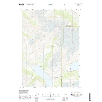
2018 Map of Seward D-5 SW
USGS Topo · Published 2018About this map
Chugach National Forest dominates this mountainous landscape where massive ice fields and high peaks define the geography. The map captures the vital transportation corridor between the Kenai Peninsula and Prince William Sound, anchored by the strategic Bear Valley and the Anton Anderson Tunnel. This passage has long served as a critical link, where the Whittier Access Road and various historical trails meet the sea. Numerous glaciers, including Byron Glacier, Whittier Glacier, and Shakespeare Glacier, are shown carving through the high country surrounding Portage Lake. Peaks such as Boggs Peak and Begich Peak tower over the valley floors, while the Whittier Airport marks the edge of the sound. This survey provides a look at the modern infrastructure that navigates the difficult terrain, including the INHT: Portage Pass Trail crossing Portage Pass.
Find a feature on this map
31 named features on this map. Tap any name to fly to it.
Don’t see what you’re looking for? This feature index may not catch every label — zoom into the map to look around manually.
Map Details
Editions of this 2018 Seward D-5 SW Map
This is the sole edition of this map. No revisions or reprints were ever made.
Other maps of this area

1951 · Seward
USGS Topo · 1:250,000

1951 · Seward C-6
USGS Topo · 1:63,360

1951 · Seward D-5
USGS Topo · 1:63,360

1951 · Seward C-5
USGS Topo · 1:63,360

1951 · Seward D-6
USGS Topo · 1:63,360

1952 · Seward D-5
USGS Topo · 1:63,360

1952 · Seward C-6
USGS Topo · 1:63,360

1952 · Seward D-6
USGS Topo · 1:63,360

1952 · Seward C-5
USGS Topo · 1:63,360

1953 · Seward
USGS Topo · 1:250,000