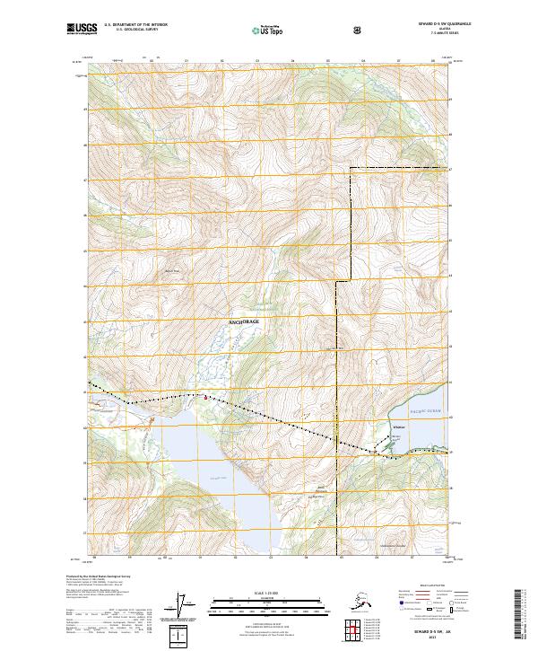
2023 Map of Seward D-5 SW
USGS Topo · Published 2023About this map
The coastal town of Whittier serves as a critical gateway to the Kenai Peninsula, marking a junction where marine, rail, and road networks converge at the edge of the Pacific Ocean. This modern survey highlights the complex infrastructure required to navigate this glacier-carved landscape, including the Whittier Access Road and the Whittier Airport. The topographic details emphasize the dramatic elevation changes between the sea-level settlement and the surrounding heights of Maynard Mtn and Begich Peak.
Find a feature on this map
32 named features on this map. Tap any name to fly to it.
Don’t see what you’re looking for? This feature index may not catch every label — zoom into the map to look around manually.
Map Details
Editions of this 2023 Seward D-5 SW Map
This is the sole edition of this map. No revisions or reprints were ever made.
Other maps of this area

1951 · Seward
USGS Topo · 1:250,000

1951 · Seward C-6
USGS Topo · 1:63,360

1951 · Seward D-5
USGS Topo · 1:63,360

1951 · Seward C-5
USGS Topo · 1:63,360

1951 · Seward D-6
USGS Topo · 1:63,360

1952 · Seward D-5
USGS Topo · 1:63,360

1952 · Seward C-6
USGS Topo · 1:63,360

1952 · Seward D-6
USGS Topo · 1:63,360

1952 · Seward C-5
USGS Topo · 1:63,360

1953 · Seward
USGS Topo · 1:250,000