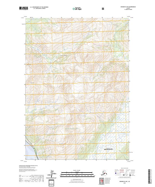
2023 Map of Seward D-6 NE
USGS Topo · Published 2023About this map
The Chugach Mountains dominate this 2023 survey of the terrain east of Anchorage, where high-elevation landmarks like Mt Alyeska and Hibbs Peak overlook a complex network of glacial drainages. This area within the Chugach National Forest is defined by its recreation and transit corridors, most notably the Iditarod National Historic Tr and the Peterson Creek Tr. These routes follow the natural contours carved by Glacier Creek and Winner Creek, illustrating the intersection of historic sled dog trails and modern conservation.
Find a feature on this map
20 named features on this map. Tap any name to fly to it.
Don’t see what you’re looking for? This feature index may not catch every label — zoom into the map to look around manually.
Map Details
Editions of this 2023 Seward D-6 NE Map
This is the sole edition of this map. No revisions or reprints were ever made.
Other maps of this area

1951 · Seward
USGS Topo · 1:250,000

1951 · Anchorage
USGS Topo · 1:250,000

1951 · Seward D-5
USGS Topo · 1:63,360

1951 · Seward D-6
USGS Topo · 1:63,360

1952 · Seward D-5
USGS Topo · 1:63,360

1952 · Seward D-6
USGS Topo · 1:63,360

1953 · Seward
USGS Topo · 1:250,000

1959 · Seward
USGS Topo · 1:250,000

1960 · Anchorage A-6
USGS Topo · 1:63,360

1960 · Anchorage A-5
USGS Topo · 1:63,360