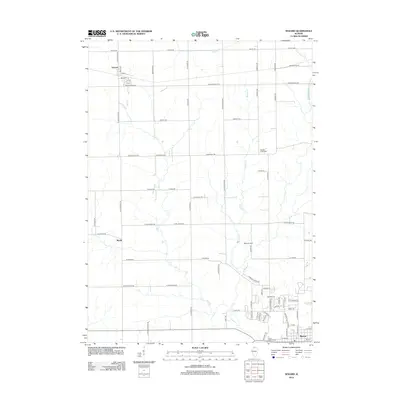
2012 Map of Seward
USGS Topo · Published 2012About this map
Byron anchors the southern edge of this landscape, where the street grid expands near the river valley. Further north, the unincorporated communities of Seward and Myrtle serve as focal points for a rural region defined by an orderly grid of section-line roads like S Pecatonica Rd and Montague Rd. This area is characterized by the drainage networks of Mill Cr and Middle Cr, which meander through agricultural fields. Genealogists and local historians will find significant landmarks recorded, including Middle Creek Cem, Saint Mary's Cem, and Byron City Cem, alongside localized features like Moores Field. The map provides a clear look at the early 21st-century rural infrastructure, from the small-town concentration in Byron to the dispersed farmsteads and creek crossings that define northern Ogle County.
Find a feature on this map
76 named features on this map. Tap any name to fly to it.
Don’t see what you’re looking for? This feature index may not catch every label — zoom into the map to look around manually.
Map Details
Editions of this 2012 Seward Map
This is the sole edition of this map. No revisions or reprints were ever made.
Other maps of this area

1917 · Kings
USGS Topo · 1:62,500

1918 · Rockford
USGS Topo · 1:62,500

1918 · Kings
USGS Topo · 1:62,500

1922 · Oregon
USGS Topo · 1:62,500

1924 · Oregon
USGS Topo · 1:62,500

1932 · Pecatonica
USGS Topo · 1:62,500

1936 · Pecatonica
USGS Topo · 1:62,500

1938 · Rockford
USGS Topo · 1:62,500

1954 · Rockford
USGS Topo · 1:250,000

1955 · Rockford
USGS Topo · 1:250,000