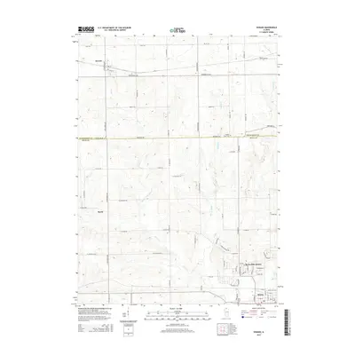
2015 Map of Seward
USGS Topo · Published 2015About this map
The boundary between Winnebago and Ogle counties divides this northern Illinois landscape, where small rural centers like Seward and Myrtle anchor a network of agricultural roads. The southern portion of the map transitions into the residential developments of Byron Hills Estates and the northern edge of Byron. This area is defined by the drainage of Mill Creek and Middle Creek, which carve gentle valleys through the farmland. Local history and genealogy are preserved in several scattered burial sites, including Middle Creek Cemetery near the county line and the Saint Mary's and Byron City cemeteries to the south. The grid of roads, such as South Pecatonica Road and Edwardsville Road, illustrates the enduring rural infrastructure that connects these small communities and their outlying farmsteads.
Find a feature on this map
70 named features on this map. Tap any name to fly to it.
Don’t see what you’re looking for? This feature index may not catch every label — zoom into the map to look around manually.
Map Details
Editions of this 2015 Seward Map
This is the sole edition of this map. No revisions or reprints were ever made.
Other maps of this area

1917 · Kings
USGS Topo · 1:62,500

1918 · Rockford
USGS Topo · 1:62,500

1918 · Kings
USGS Topo · 1:62,500

1922 · Oregon
USGS Topo · 1:62,500

1924 · Oregon
USGS Topo · 1:62,500

1932 · Pecatonica
USGS Topo · 1:62,500

1936 · Pecatonica
USGS Topo · 1:62,500

1938 · Rockford
USGS Topo · 1:62,500

1954 · Rockford
USGS Topo · 1:250,000

1955 · Rockford
USGS Topo · 1:250,000