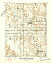
1939 Map of Seward
USGS Topo · Published 1950About this map
The Big Blue River and its numerous tributaries, including Lincoln Creek and Plum Creek, dictate the layout of central Nebraska during this mid-century period. The county seat of Seward sits at the confluence of these waters, serving as a hub for both the Chicago and Northwestern and Chicago Burlington and Quincy railroads. This network of rails and rivers supported a dense grid of rural education, evidenced by dozens of numbered district schools and named institutions like Marysville Sch and Seward View Sch.
Find a feature on this map
75 named features on this map. Tap any name to fly to it.
Don’t see what you’re looking for? This feature index may not catch every label — zoom into the map to look around manually.
Map Details
Editions of this 1939 Seward Map
3 editions found
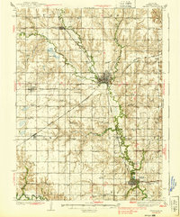
Other maps of this area

1897 · Lincoln
USGS Topo · 1:125,000

1899 · Wahoo
USGS Topo · 1:125,000

1899 · David City
USGS Topo · 1:125,000

1934 · Seward
USGS Topo · 1:48,000

1934 · Utica
USGS Topo · 1:62,500

1935 · Dorchester
USGS Topo · 1:48,000

1937 · Utica
USGS Topo · 1:62,500

1939 · Seward
USGS Topo · 1:62,500

1940 · Dorchester
USGS Topo · 1:62,500

1955 · Fremont
USGS Topo · 1:250,000